Harundale (18AN178)
Site History
The Harundale, or Phelps Site (18AN178), appears to be the remnants of a series of small Late Archaic and Early, Middle, and Late Woodland base camps east of Glen Burnie in Anne Arundel County, Maryland. The site is situated on a bluff overlooking Marley Creek. At the time of major investigations in the 1970s, portions of the site had been plowed, while others were unplowed and heavily vegetated. An early 20th-century house is also situated at the site.
Archaeological Investigations
The site was first identified in the late 19th or early 20th century. Talbot D. Jones, an active avocational archaeologist, collected artifacts from the site sometime between 1900 and 1904. Eight artifacts collected by Jones are curated at the MAC Lab.
Professional archeologists turned their attention to the site in the 1970s, when it became threatened by proposed transportation improvements. In 1970, staff from the Maryland Geological Survey collected 73 prehistoric sherds, 43 flakes, 3 worked stones, and a netsinker. No report was prepared for the 1970 work, but a state site form was completed and the collection is housed at the MAC Lab.
In 1975, the site was examined as part of a Phase I survey for proposed expansion of the Arundel Expressway (MD 10). The primary method of survey used was pedestrian survey with examination of all exposed areas, profiling of some exposures and augering in other areas to assess stratigraphy, and in some cases, the excavation of 61cm test squares. At least 5 test squares were excavated at 18AN178, and several exposed road and creek bank cuts examined.
Some spatial segregation of artifacts (either temporally or functionally) was noted, and the site was divided into subareas 178, 178A and 178B. Area 178 is the original site as defined in 1970 and yielded 4 prehistoric sherds, two quartz points, and quartz flakes (not collected). Area 178A was situated further to the east along the same bluff overlooking Marley Creek. No ceramics were found in any of the test units excavated here, but numerous quartz flakes were recovered. Based on the lack of ceramics it was postulated that these deposits might be Archaic. Area 178-B was located further south, along an unnamed tributary stream about 1000 feet southeast of 178A. Three 61 cm units placed in Area 178B revealed quartzite flakes. Areas 178-A and B were in plowed areas and all materials were recovered from the plowzone.
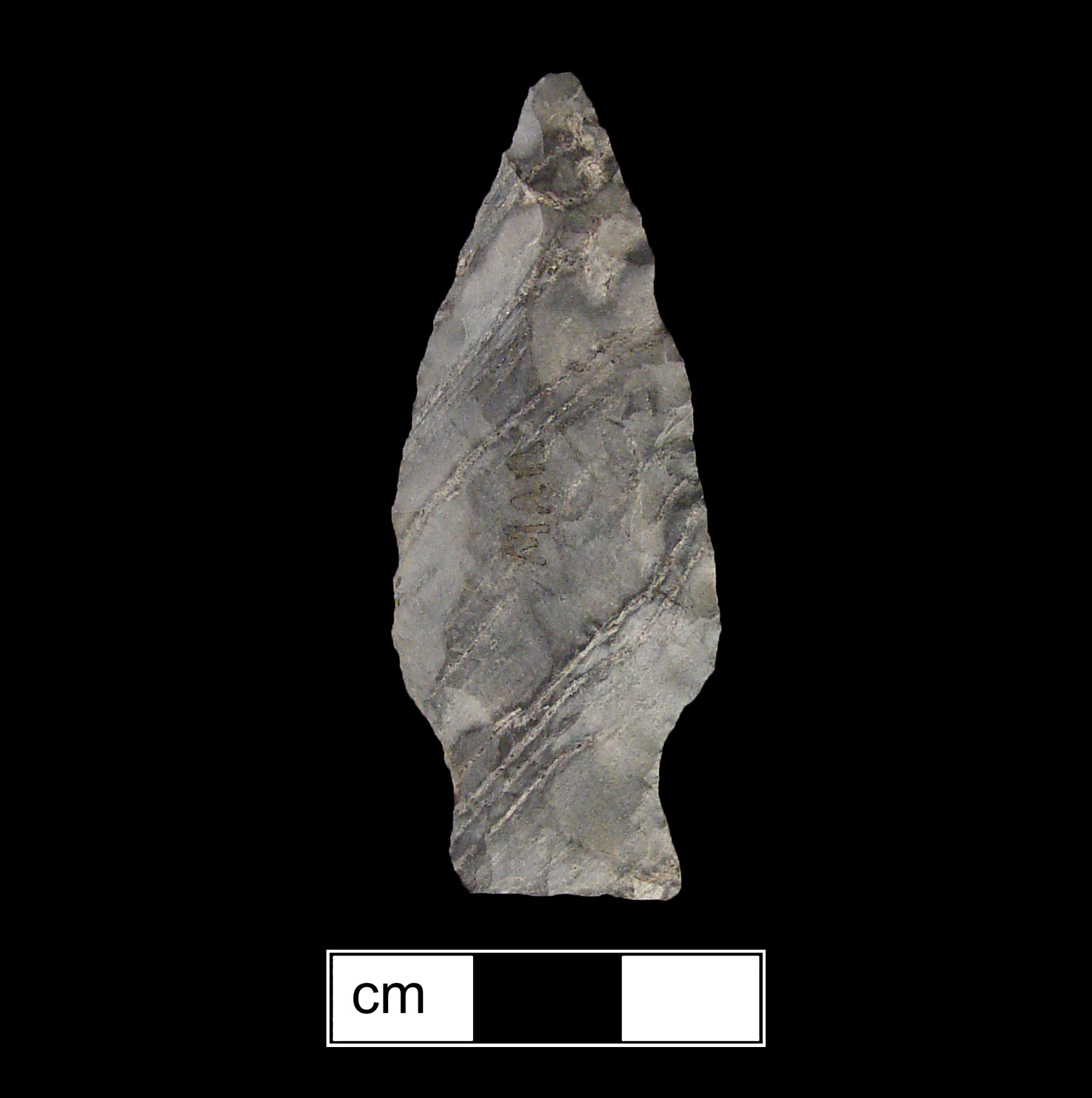
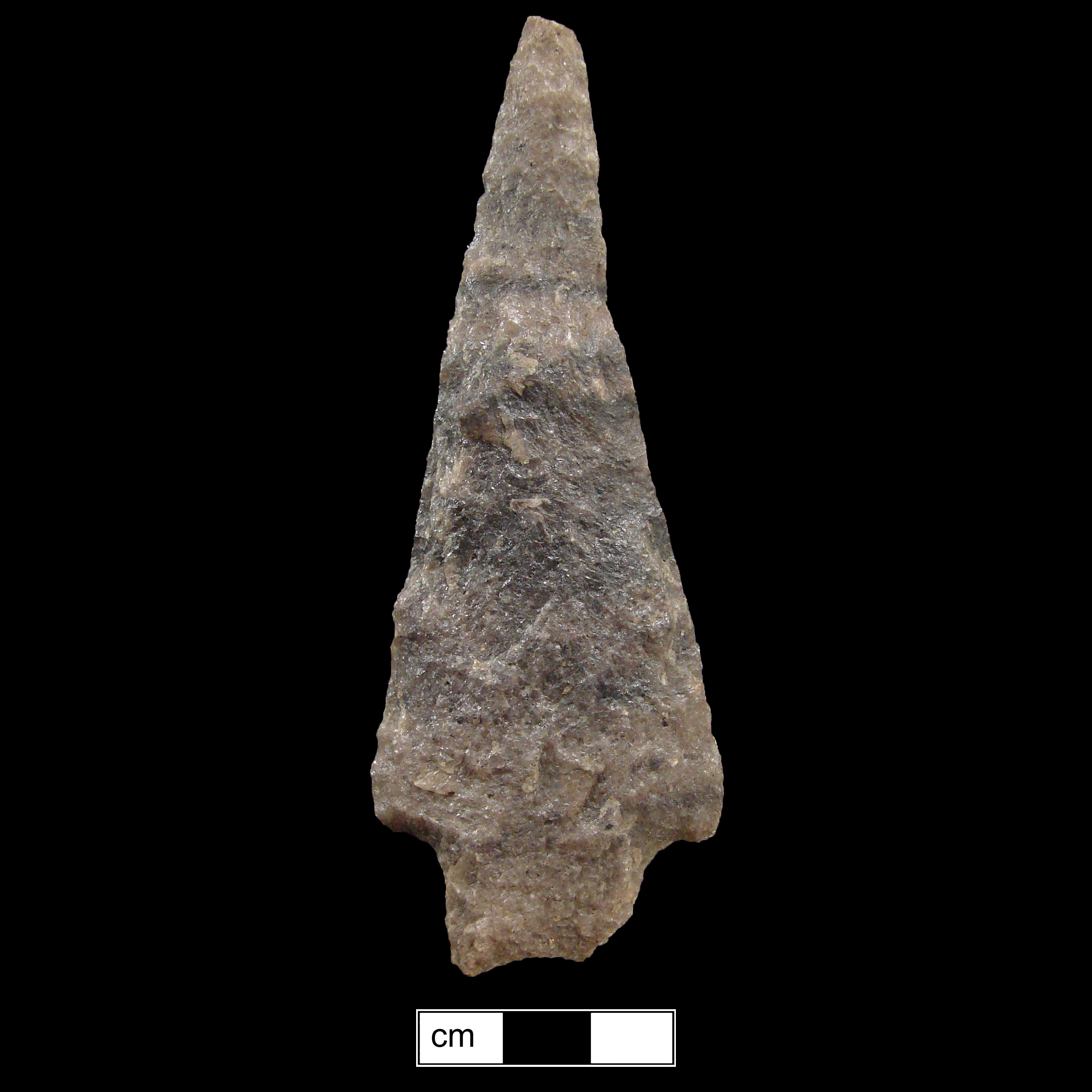
The site was subjected to Phase II testing in 1977. The archaeological materials indicate the earliest components date to the Late Archaic and Early Woodland. Artifacts included 2 Dry-Brook fishtails, stemmed and triangular points, as well as Pope's Creek, Mockley, and Potomac Creek sherds. Potomac Creek sherds were the most abundant wares and triangular points outnumber other forms, suggesting that the most substantial occupation of Areas 178 and 178A took place in the Late Woodland.
A single feature was discovered in the B-horizon in Area 178B. The feature was determined to be a hearth lined with locally available ferruginous sandstone concretions. Two side-notched points were found in close association with the hearth, suggesting a Late Archaic date.
In June of 2001, Applied Archaeology and History Associates, Inc. (AAHA) conducted a Phase I survey of the Phelps Property, a group of four areas slated for development. Two of these areas tested lay in the vicinity of 18AN178. The northernmost of these, the Norman Avenue Portion of the study area, included shovel test units within the area mapped in 1970. These units were negative for artifacts. The easternmost area, the Gerard Drive Portion of the study area, did re-identify the southeastern 18AN178B portion of the site. The re-identified portion of the site was found in the form of a scatter of artifacts including a grit-tempered, cord-marked ceramic sherd.
An historic component was also found, being the former location of a structure which stood atop the hill in the early 20th century.
References
1978 T.D. Jones Collection Notes 1892-1908. (Maryland Geological Survey) MHT # BA 2.
1977 Archeological reconnaissance of the Baltimore-Annapolis transportation corridor. MHT# AN 44.
1975 Archeological Reconnaissance of the Arundel Expressway (Maryland Route 648-Maryland Route 100 and Interchange at Maryland Route 100) in Anne Arundel County, Maryland. (Catholic University) MHT# AN 33A.
1978 Test Excavations at Marley Creek (18AN178, 18AN178A and 18AN178B) MHT# AN 33B.
2001 A Phase I Archaeological Survey of the Phelps Property, Subdivision Number 98-073, Anne Arundel County, Maryland. (Applied Archaeology and History Associates, Inc.) MHT # AN 676.