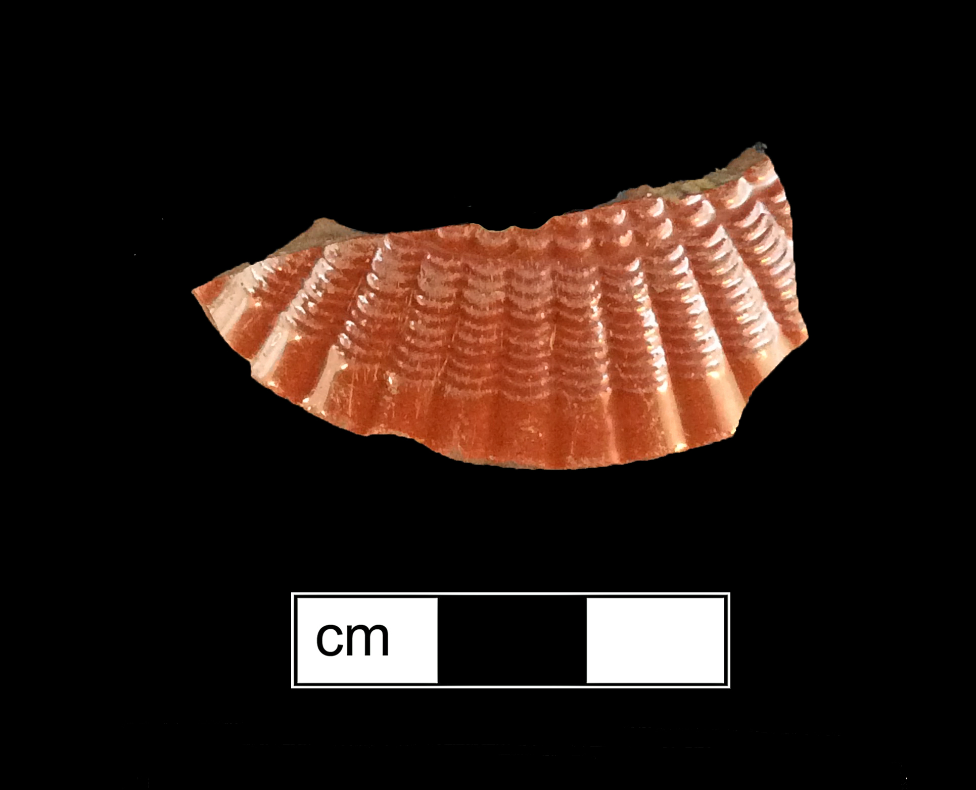
Hammond Harwood House (18AP2)
Site History
The Hammond-Harwood House is an 18th to 20th-century standing urban house and formal gardens located in Annapolis, Maryland at the intersection of King George Street and Maryland Avenue. The five-bay main house was built between 1774 and 1775 for wealthy planter Mathias Hammond in the symmetrical Georgian style of the period. The original house lot consisted of 4 acres assembled from assorted urban lots that Hammond began to acquire in 1772. The combined lots became known as "Hammond's Square." Hammond probably never occupied the home as he left Annapolis when the Revolution broke out in 1776. He died in 1786 but may have rented the mansion out to Judge Jeremiah Townley Chase for the intervening years.
Upon Hammond’s death, the house was inherited by his nephews John and then Philip Hammond. Philip sold the house to Ninian Pinkney in 1810. In 1811, Pinkney sold the house to Judge Jeremiah Townley Chase, who gave it to his daughter Frances Townley Chase Loockerman. Judge Chase continued to occupy the northeast wing of the house, which he purportedly had rented from the late 1770s, shortly after the house was built. The house was held in trust for Frances Loockerman and her family and eventually passed, in 1857, to her daughter, Hester Ann Loockerman, who married William Harwood.
For many years the Harwood family resided in Alabama, but by 1857, they had returned to Annapolis. Around the time of the Civil War, economic conditions forced the sale of parcels of land from Hammond’s Square. By the early 20th century, the 4-acre lot had been reduced to its present size. The Hammond-Harwood House passed to their youngest daughter, Hester Ann Harwood, who lived alone in the house for many years. When she died in 1924, the house was put up for sale. In 1925 the house was purchased by Francis Garvan and in 1940 title passed to the Hammond-Harwood House Association which has maintained the house as a historic landmark and interpretive center open to the public ever since.
Archaeological Investigations
The first documented archaeological work at 18AP2 occurred in 1965 and was performed by students at the Milford High School Chapter of the Archeological Society of Maryland in response to a planned parking lot paving. Twelve 4 × 5 ft test units were excavated in the vicinity of the planned parking lot. An overview of this work was written for the society journal. The soil was disturbed due to landscaping activities, but a midden deposit and sheet refuse from the nearby kitchen were encountered.
The only other documented archaeological work at 18AP2 occurred in 1983 and 1984 prior to modifications to the existing gardens. Plans called for grading and filling as well as the construction of a brick patio and retaining wall, all of which would have significant impacts to archaeological resources. The 1983 archaeological work resulted in modifications to the plans for garden construction to protect the archaeological record of the site. A 1984 data recovery was then undertaken to mitigate any impacts to archaeological deposits.
Archaeological testing and data recovery excavations included the excavation of thirteen 5 × 5 ft test units and one 5 × 10 ft test unit, as well as 39 shovel test pits (STPs). These test units were placed along a 10 × 10 ft. grid superimposed over the entire garden. STPs were concentrated in the lower garden area. All but one of the formal test units were excavated in stratigraphic levels with all soil matrices being screened. Test Units 1, 3, and 4 were excavated to extract information on the nature of a terrace at the rear of the house. Test Unit 2 was excavated to examine the interface between the terrace and lower garden. Test Units 5, 6, and 7 and Test Units 10-14 were excavated to examine the original ground surface in the lower garden. Test Unit 8 was excavated inside the cellar of the east wing and Test Unit 9 was excavated at the entrance to this cellar.
Excavations in 1983 and 1984 yielded 4,646 artifacts and revealed thirteen features, including a buried bucket or barrel with fill dating to the 18th century, a disturbed kitchen midden, midden debris from what appeared to be a late 18th- or early 19th-century butchering area, postholes and molds, concentrations of brick dust of indeterminate function, a brick walkway, and modern utility lines.
The formation of the modern topography of the site was relatively straight-forward. During most of the 18th century (before house construction) this parcel of land was gently sloping towards the rear of the garden. However, at the time of the house's construction modifications were made using the soil resulting from the excavated cellar hole for the house construction. These re-deposited soils were used to create the extant garden terrace, dividing the yard into an upper and lower garden. The soils were re-deposited in reverse of their original stratigraphy, creating three distinct layers of unsorted soil fill. Five test units were excavated through these terrace soil layers to the original 18th century land surface below.
The findings of the 1983 and 1984 study clearly indicate that intact subsurface remains and features exist at 18AP2, the Hammond-Harwood House. These deposits date to an important chapter in American history and preserve the material culture related to one of the most prominent properties in Annapolis. The project succeeded in delineating areas containing significant artifact deposits and features that can be investigated further. Landscaping and construction plans were adapted to protect these deposits and features for future research. The site is well-preserved and should be considered a significant archeological resource.
References
1985 Archaeological excavations at the Hammond-Harwood House, Annapolis, Maryland. (Historic Annapolis, Inc.) MHT # AP 8, 1985.