Ward Farmstead (18BA582)
Site History
The Ward Farmstead site consists of a mid-nineteenth- through twentieth-century farmstead, including a main dwelling (Structure 4), bank barn (Structure 2), well, dairy (Structure 3), a filled pit (Structure 6), and an outbuilding (Structure 1). The site is filled with landscape features, including a roadway, ornamental plantings, buried pipelines, and fence lines. With the exception of a demolished part of Structure 4, many of these structures are associated with twentieth century usage. In addition to the historic component, a lithic reduction locus focused on the use of quartz was recorded within the site. Diagnostic artifacts were recovered from secondary depositions, including a Piscataway point from the foundation of the west hearth in Structure 4, and a unifacial micro-disk from the foundation of Structure 4.
The historic component of the Ward Farmstead can be traced back to a colonial patent of one William Croxall as “Croxall’s Addition”. William Croxall died in 1782, leaving the land to his son, James Croxall. Tracts of land were handed over to John Baxley, and subsequently John Peck. Peck's heirs divided their inherited land into tracts, and his daughter Elizabeth’s heirs further sub-divided the land to give the parcel the size and shape that is depicted in late 19th century maps. The parcel was defined as 10 acres, 1 rood, and 12.5 perches in 1844 when it was transferred from the Wootens to John P. Ward, and it remained with the same metes-and-bounds until ownership was transferred to the State Highway Administration in 1964 for the building of the interstate.
Archaeological Investigations
The Ward Farmstead Site was recorded during Phase IB and II investigations for the Baltimore Red Line in 2012 and 2013.
A small number of scattered prehistoric materials indicated the presence of a small, disturbed prehistoric component. Prehistoric lithics, all quartz, were found in STPs. Based on the distribution of the artifacts, the prehistoric component of the site stretches along the southern edge of the site and has an approximate area of 1,725 m-sq or 0.42 acres.
The quantity of historic artifacts extracted from the STPs and the surface increased dramatically toward the ruins of the structures associated with the farmstead. In general, makers' marks on the glass indicated an assemblage ranging from circa 1910 into the 1960s.
Structure 1 consisted of a long, rectangular stone foundation for a rectangular building, measuring 33.3 × 14.4 ft. Materials inside the structure were collected in quadrants and the assemblage consisted mainly of ceramic tableware and glass containers from the 1930s through the 1950s. This structure was originally interpreted as a storage facility used throughout the Weaver-Green occupancy (1905/1910-1930/1935).
Structure 2 consisted of a rectangular stone foundation for a sizeable building, built into a southward-facing slope. The structure was interpreted as a bank barn with certainty in the Phase IB investigations. The interior of Structure 2 measured 33 × 24 ft. and the building was set into a south-facing slope. Investigations on the northern exterior perimeter of the bank barn located an earthen ramp and a thick rubble layer from the destruction of the structure. Diagnostic artifacts recovered from the interior of the bank barn date from the mid-nineteenth century to the 1980s, although the latest diagnostic materials in the occupation contexts date to the 1940s.
Structure 3, located northwest of Structure 2, is interpreted as a dairy. The floor, situated approximately 1 m (3.3 ft) below the present ground surface, was paved with a thick layer of concrete. A stone-lined well with a diameter of 3.60 ft was located north of Structure 3.
Structure 4 is a structure comprising two sections (sections A and B), located north of the stone well. Section A is a subterranean cellar hole. The shape and location of this structure suggested that this was the main dwelling on the farmstead.
"Structure" 6 was located south of Structures 3 and 4. In the course of Phase II investigations, the structure was found to be a very large feature cut into subsoil. The designation Structure 6 was retained to avoid confusion in the paperwork and field notes from Phase I. The feature measured 12.6 ft from north to south, and 16.1 ft from east to west, and its bottom was recorded 13.2 ft below the farm lane that extended through the property.
The stratigraphy of Structure 6 was very complex, involving evidence of several stages of in-filling. However, a single stoneware crock was cross-mended through all of these layers, suggesting a brief period of infilling. Several interpretations were considered for the function of this pit. One possibility was that it functioned as a cistern, a holding tank for a watering trough for livestock, or as a subterranean still, or a "submarine still," which employed sheet metal and wood and was fueled by gas or oil boilers. The artifact assemblage recovered from the fill of Structure 6 contains a number of items associated with distilling, including canning jars, kettles, pipes, mesh, galvanized buckets, sheet metal, and barrel hoops. Although this interpretation cannot be clearly demonstrated, it cannot be ruled out.
During the Phase IB investigation, a farm lane/roadway paved with oyster shell and lined on the north side by fence posts was identified. The road surface in the site consisted of a dense layer of oyster shell 0.2 ft thick. Below the shell, excavation revealed a layer of stones, slag, and other hard debris. Trees and shrubs demarcated the path of the road and a retaining wall was located along the southern edge of the road between Structures 2 and 6. Based on the sloping terrain, the wall likely served as barrier to prevent soil erosion toward the south. No diagnostic materials were recovered from layers below the shell, so it is uncertain when this surface was paved. It is very likely that construction of the shell surface occurred early under the Weaver-Green ownership, before the greatest period of on-site disposal took place.
References
2013 State 1 Phase 1B Archeology Technical Report, Red Line Light Rail Transit Project, City of Baltimore and Baltimore County, Maryland. (PB, RK&K, EAC/A) MHT # BC 184.
2015 Red Line Light Rail Transit Project, Baltimore City and Baltimore County, Maryland - Stage 2 Phase II Archeology Technical Report for the Ward Farmstead Site (18BA582). (2 volumes) (PB, RK&K, EAC/A) MHT # BA 225.
Associated Artifacts
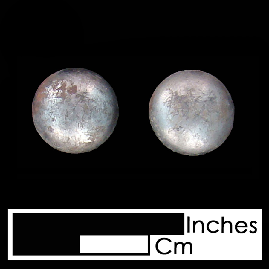
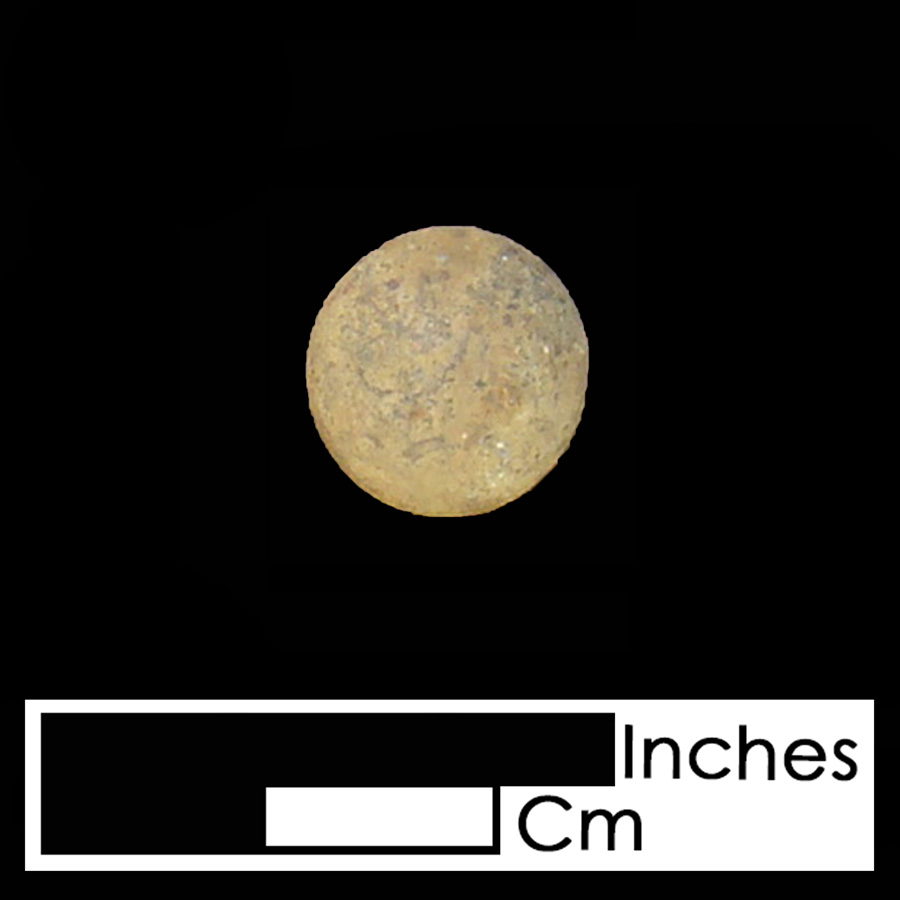
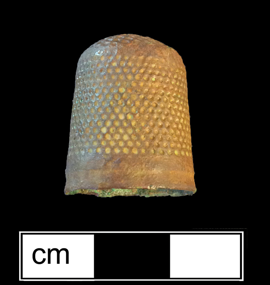
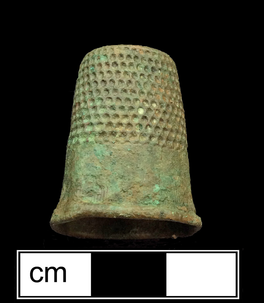
Thimbles