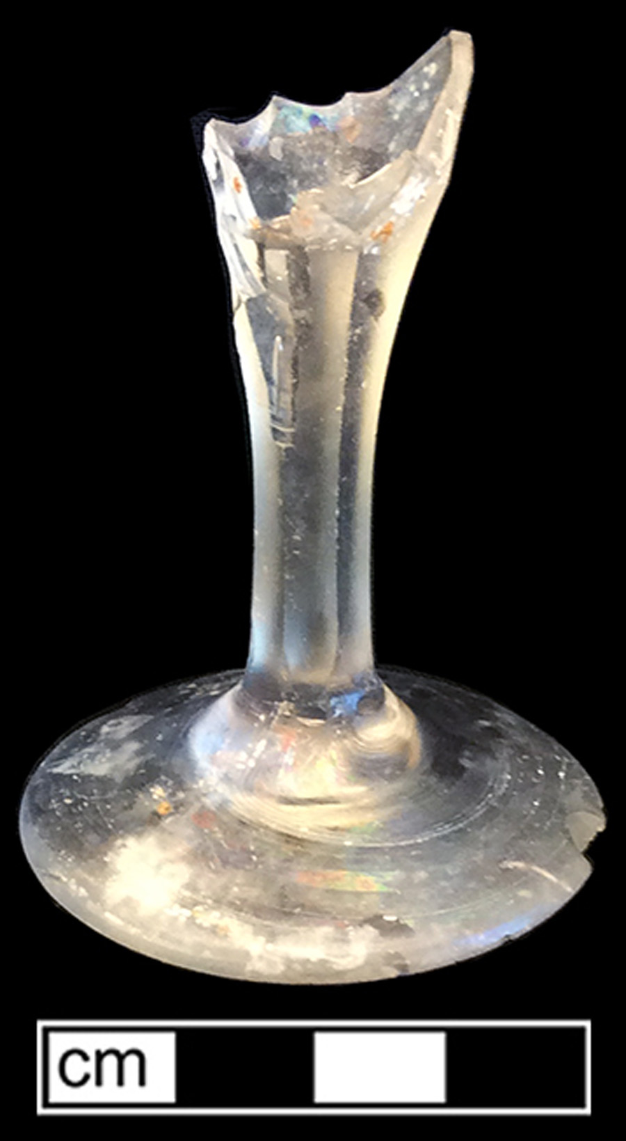
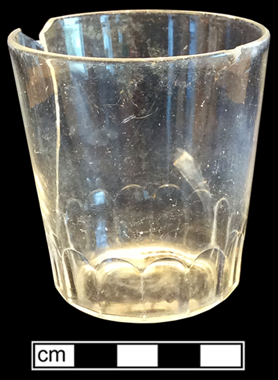
Baltimore Federal Site (Block 1370)(18BC33)
Site History
The Baltimore Federal Site was a historic period site consisting of a city block bounded by South, Water, Commerce and East Lombard Streets. When first settled, the block was on the Baltimore waterfront, but as infilling occurred during the late 18th and 19th centuries, the lot lost its waterfront status.
This block was part of a seventeenth century land grant called "Todd's Range" which covered approximately the area of the original Baltimore (Basalik 1994). John Fleming was the only known resident of the tract in the early 18th century. Thomas Harrison, a merchant, built the first house on block 1370, shortly after his 1742 arrival from England. This house stood at the northeast former of South and Water (Lombard) Streets and can be seen in the 1752 Moale etching of Baltimore.
The block also became home to a tobacco inspection station by 1763, and by 1780, four wharves. Water Street (now Lombard) was added along the southern edge of the block sometime in the third quarter of the 18th century (Basalik 1994:100). The 1792 A.P. Folie map shows that extensive landfilling had taken place south of Water Street – at least 300 feet, with docks extending and additional 300 feet into the harbor (Basalik 1994:101).
The 1796 city directory shows a variety of businesses on Block 1370 – a counting house, a hatter, a tobacconist and a grocery store. Thoroughgood Smith, owner of the counting house, also lived adjoining his business and it is likely the other business owners also lived above or adjoining their shops. During the early 19th century, the block was also home to a currier, saddle and harness maker, a medical doctor, painter/glazer, and a merchant (Basalik 1994:101). By the late 1830s and 1840s and into the 1850s, the block's use had become largely light industrial, and included a draper/tailor, a cabinetmaker, a leather dresser, a liquor importer, and an umbrella, parasol and cane factory.
Archaeological investigations were conducted in 1983 in advance of the construction of the Baltimore Savings and Loan Association building. Demolition work in advance of archaeology showed that a great deal of infilling had occurred, most likely after the 1904 fire. Much of this infill was late 19th century structural debris (Basalik 1994:121). The rebuilding of the block after the 1904 fire appeared to have greatly impacted the preservation of earlier archaeological traces in this block (Basalik 1983:158). The only intact area was the southwest corner of the block (Akerson and Bisacquino 1998:6). Nevertheless, twenty-four features were uncovered during the archaeological investigation – privies and foundation walls, primarily. Early 19th-century features clustered along the property lines at the rear of the lots and consisted of largely of privies. Most of the features contained relatively few artifacts and thus only several are discussed below as possible features to examine.
Feature 14, a privy, appeared to have been filled with curated debris from the household of merchant John Donnell, a late 18th/early 19th century merchant. Privy 14 was filled in the second quarter of the 19th century, but contained huge numbers of vessels (at least 85) of Chinese porcelain decorated with an armorial seal and the initials of John Donnell. Another set of underglaze blue painted Canton porcelain in a variation of the willow pattern may also date to the Donnell household, but could be later; at least 66 vessels of Canton were recovered from the feature. All of the porcelain vessels may have been curated by descendants and then discarded all at once into the privy during a change in lot ownership or something similar. William Donnell owned the lot by the 1820s, although it was still apparently the location of John Donnell’s store. By the 1840s, this lot was still owned by William Donnell, but was leased by Edward Starr, a draper and tailor (Basalik 1994:521-524).
Feature 20 dated to the early 19th century and may represent debris from more than one household. It was found in the vicinity of the Harrison house shown on the 1752 etching of Baltimore and may represent debris from the late 18th century occupants of this house.
Feature 7 had a number of highly decorated late 19th century porcelain pieces that may have been related to eating and drinking associated with the Merchant's National Bank (Basalik 1994:152).
References
1983 Block 1370 The Baltimore Federal Site: Data Recovery and Analysis Baltimore, Maryland. Cultural Heritage Research Services, Inc. On file at MHT, Crownsville.
1994 Urban Development in the Eastern United States: An Archaeological View of Baltimore, Maryland. Ph.D. dissertation, Temple University. University Microfilms, Ann Arbor.
Associated Artifacts
Chinese Hard-Paste Porcelain
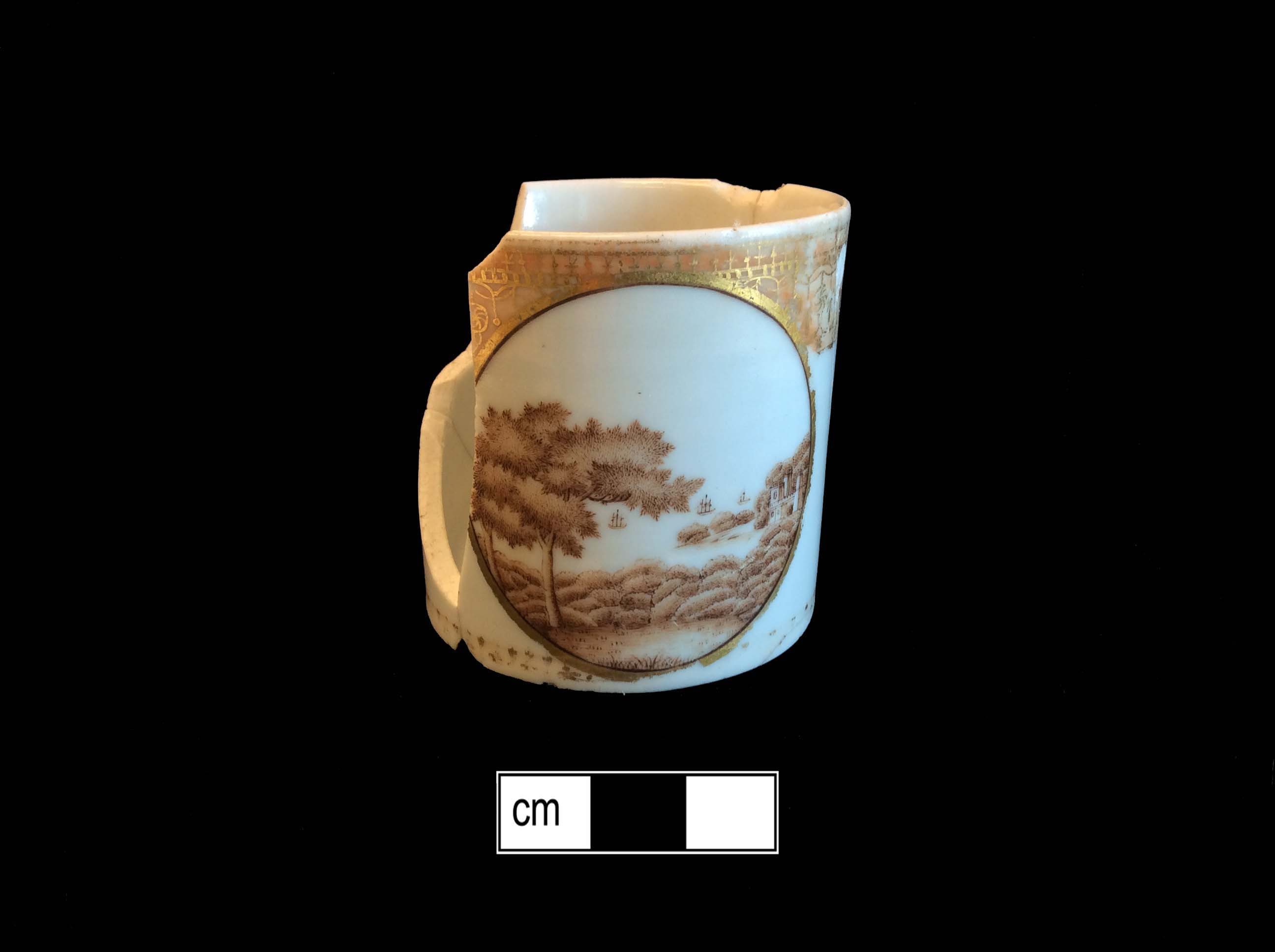
Chinese Hard-Paste Porcelain
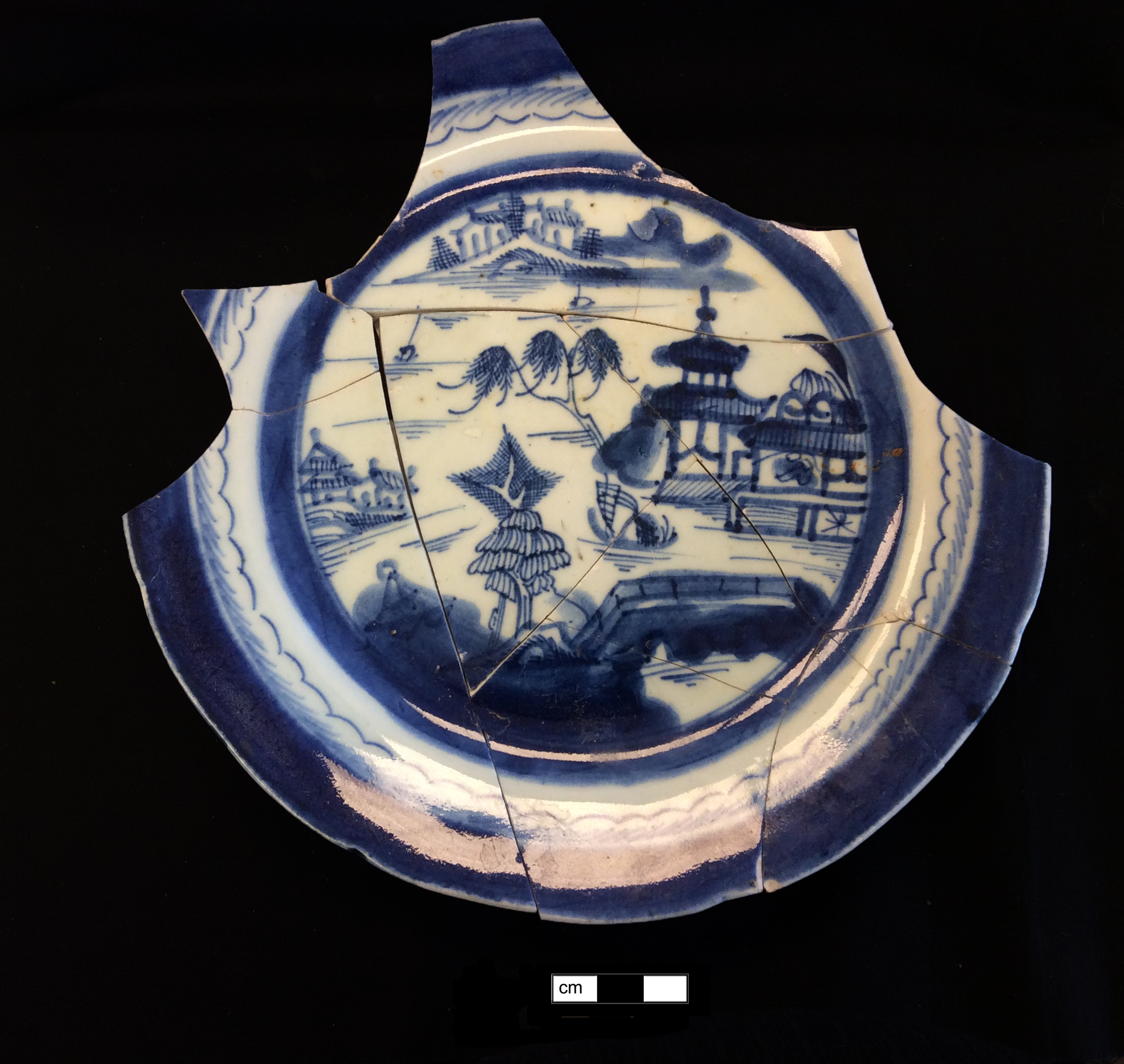
Chinese Hard-Paste Porcelain
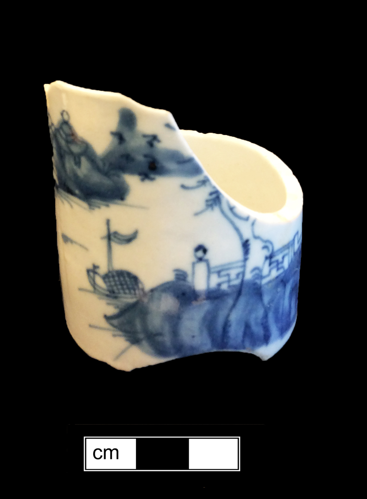
Chinese Hard-Paste Porcelain
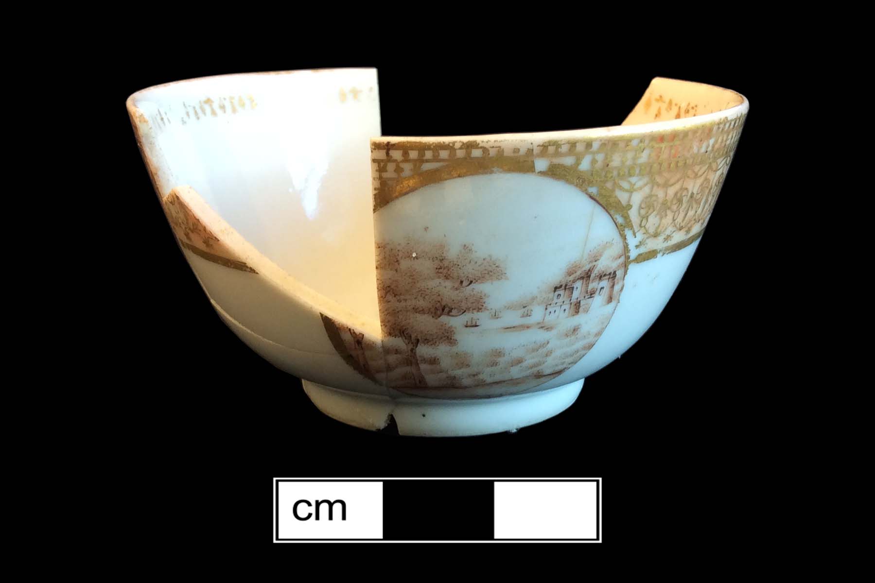
Chinese Hard-Paste Porcelain
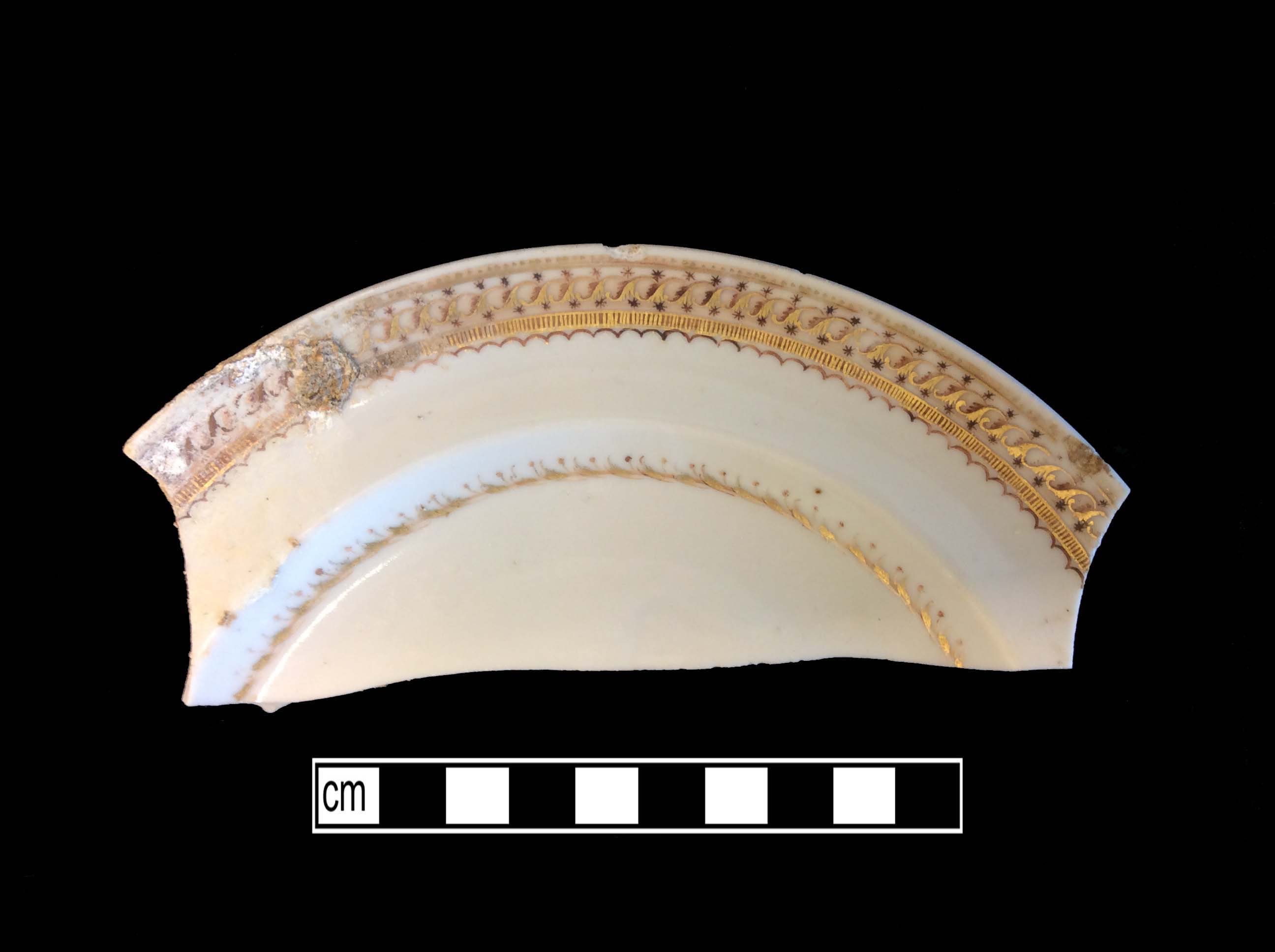
Chinese Hard-Paste Porcelain
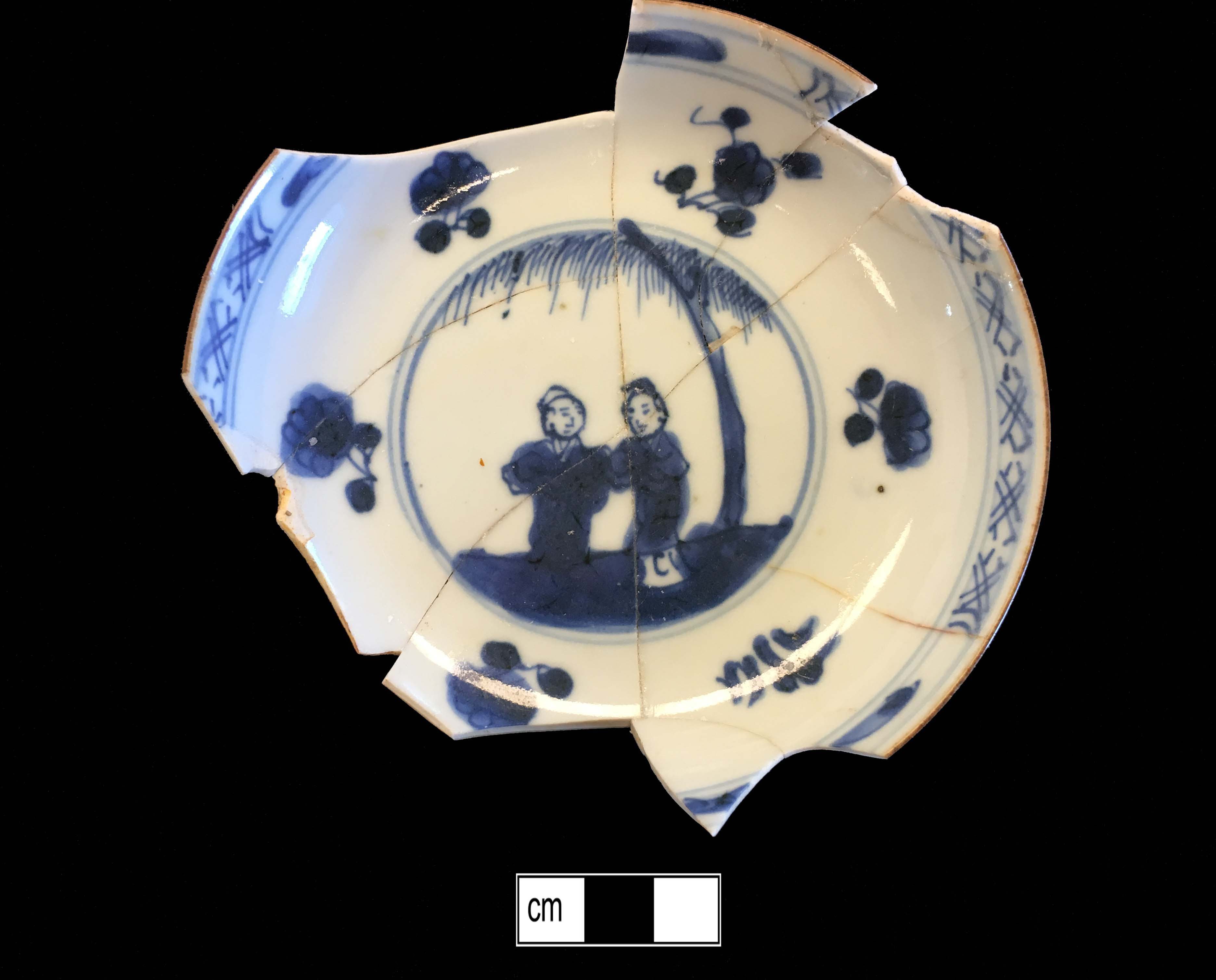
Creamware
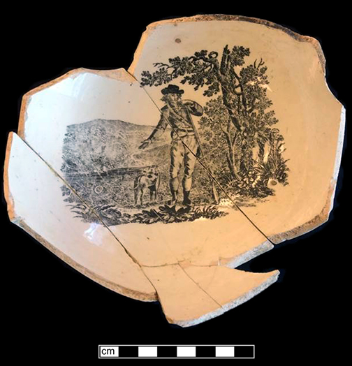
English Brown Stoneware
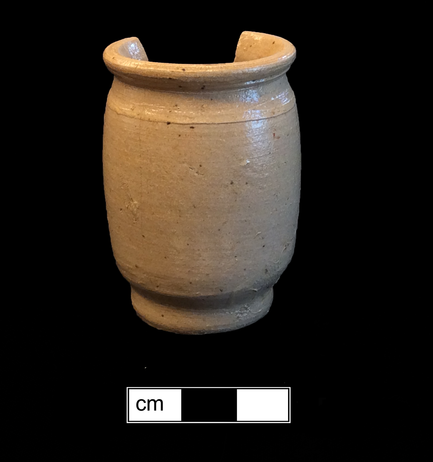
English Brown Stoneware

North American Stoneware
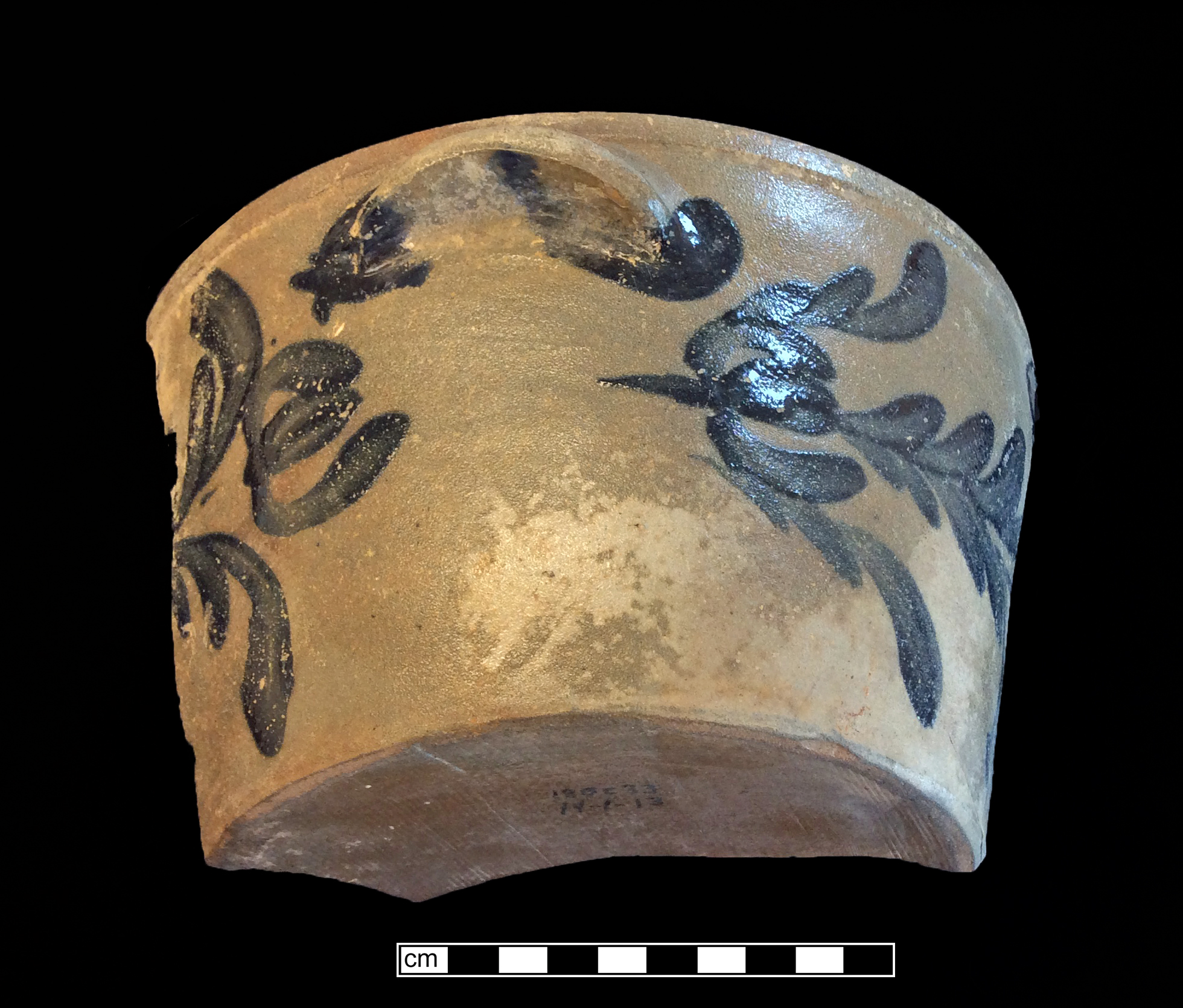
North American Stoneware
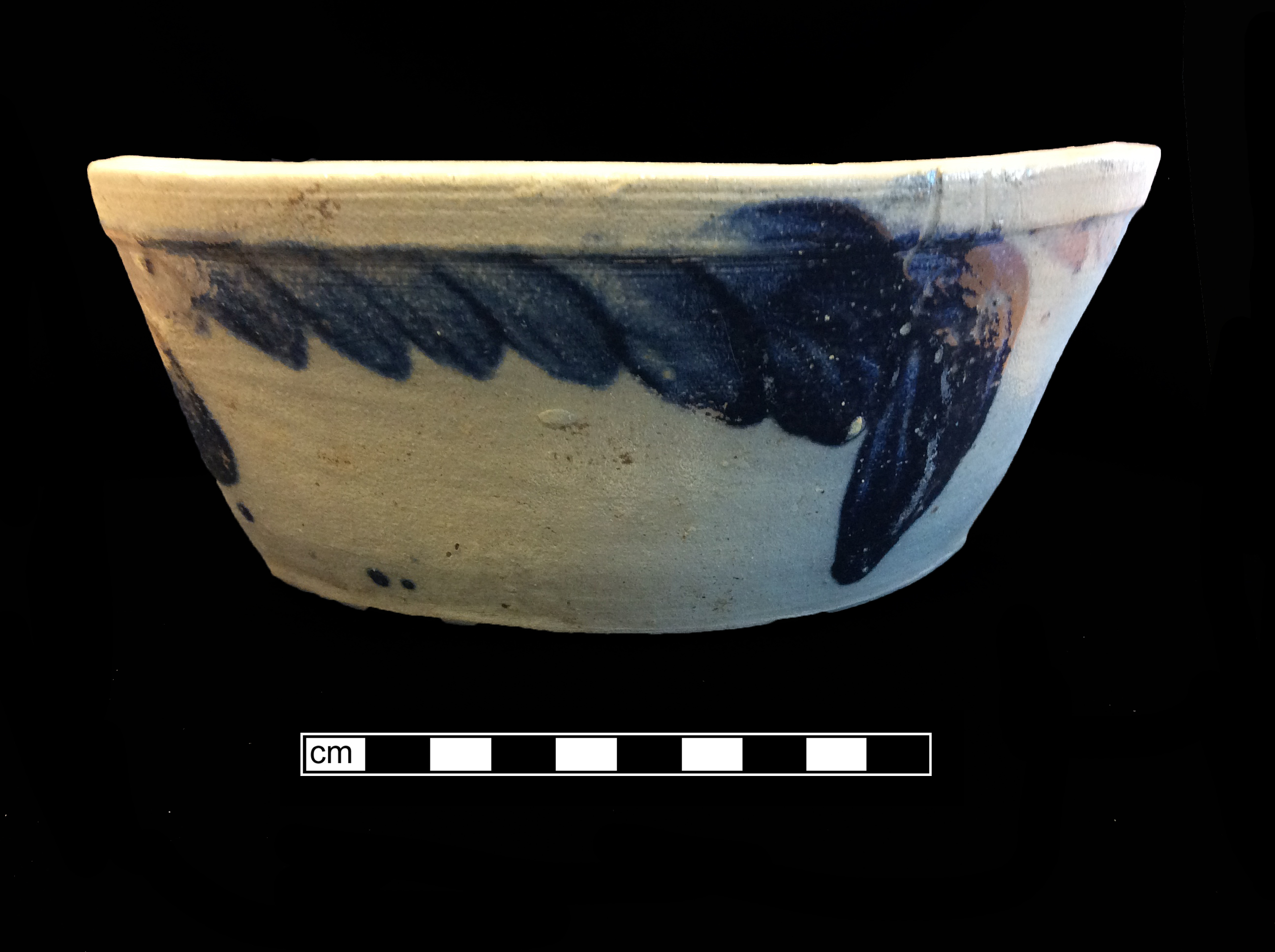
North American Stoneware
Printed Earthenware
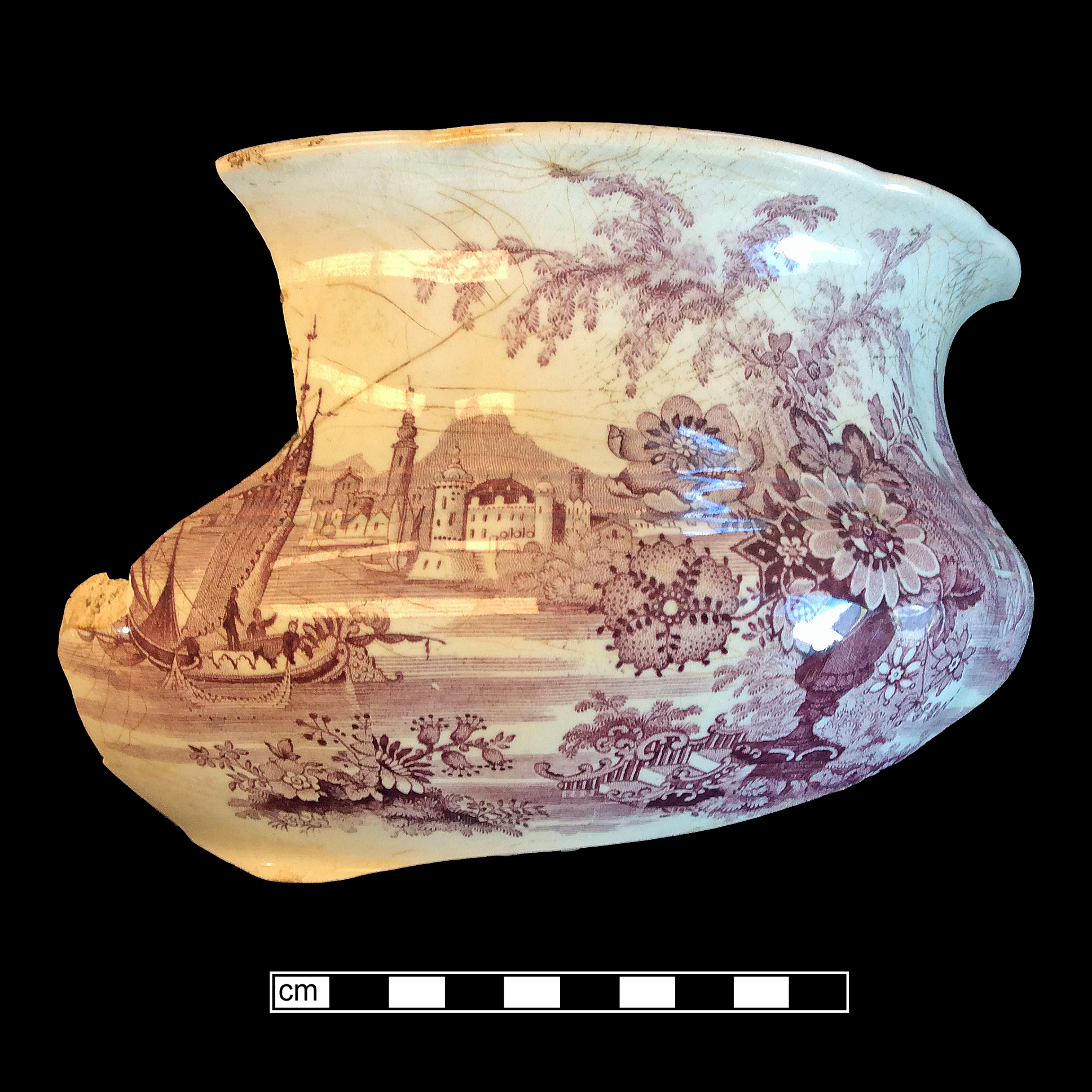
Printed Earthenware
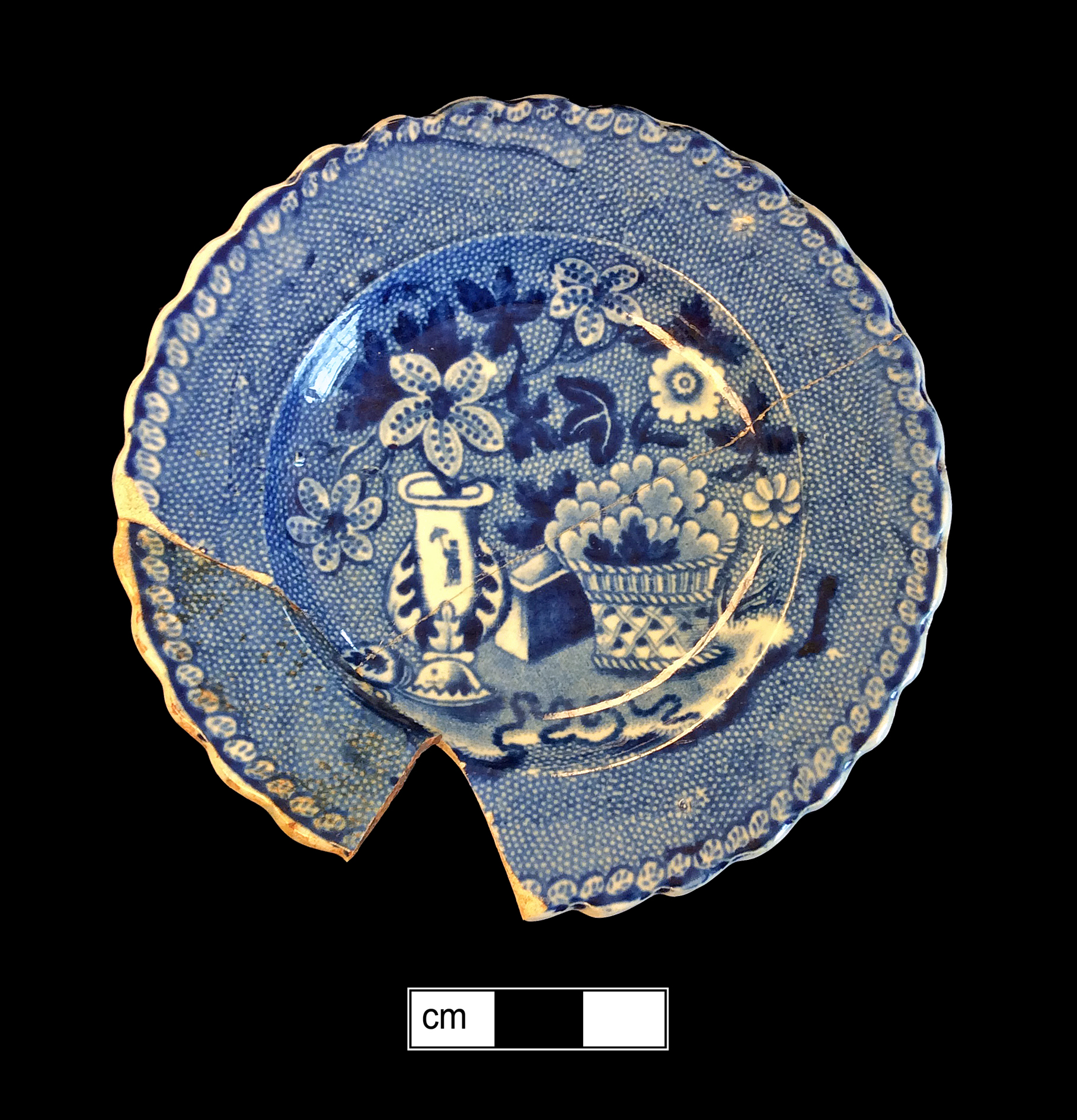
Soft-Paste Porcelain
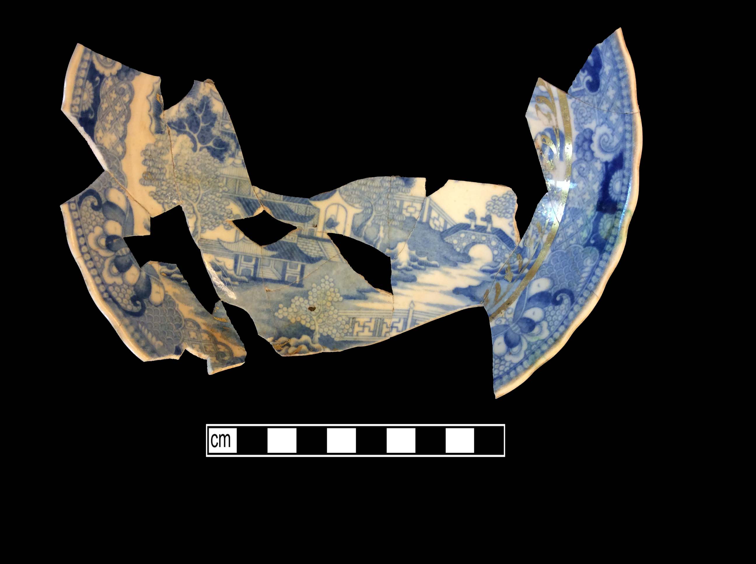
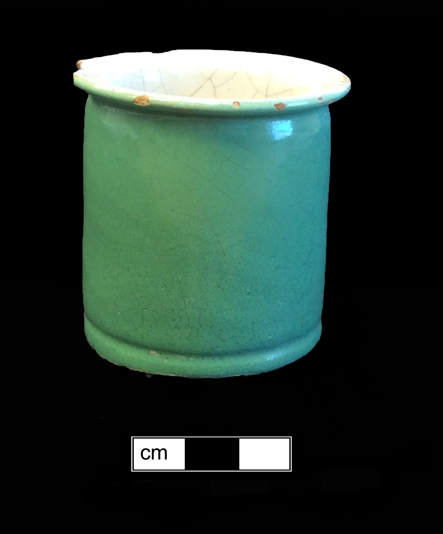
Tin Glazed
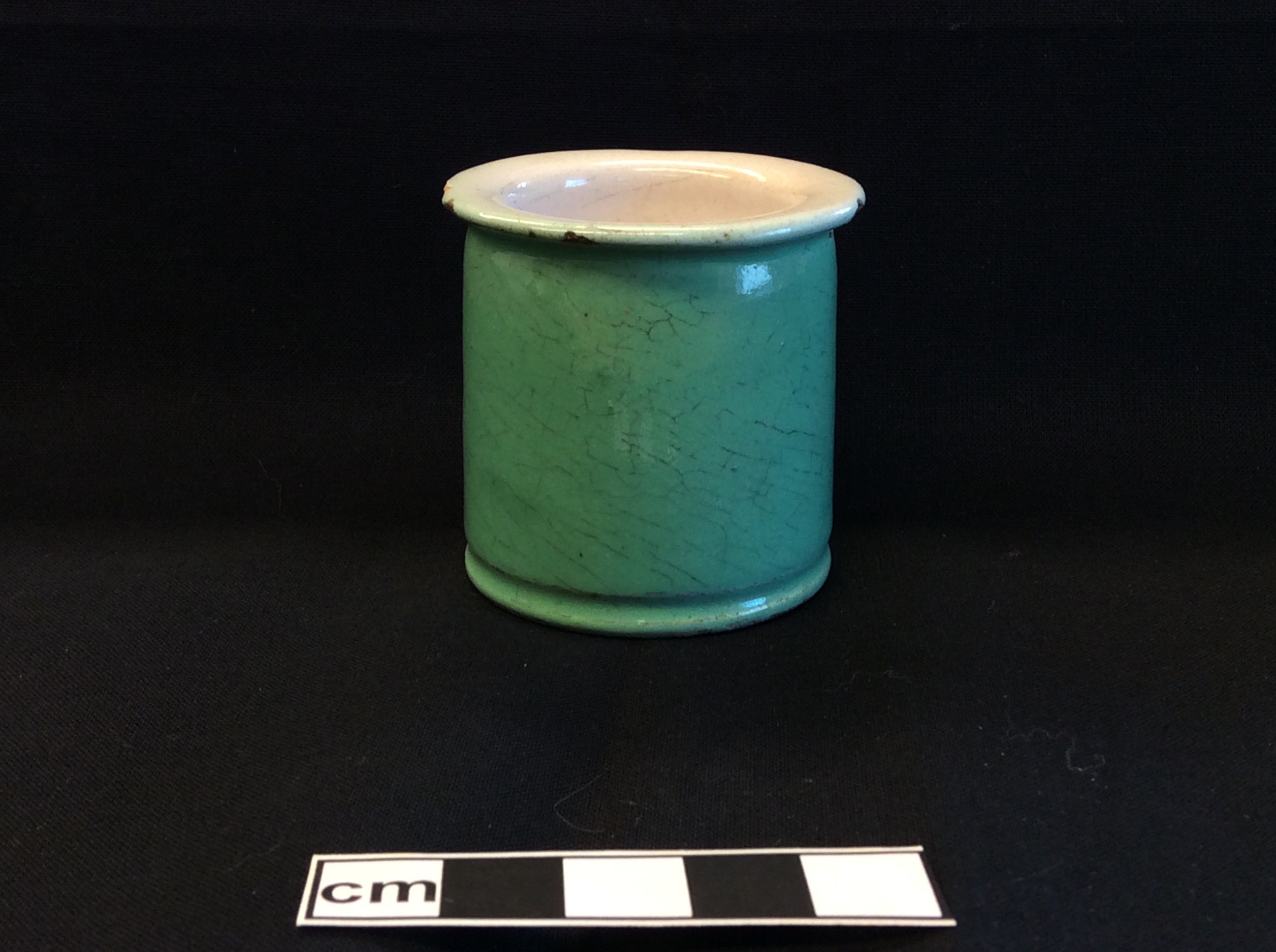
Tin Glazed
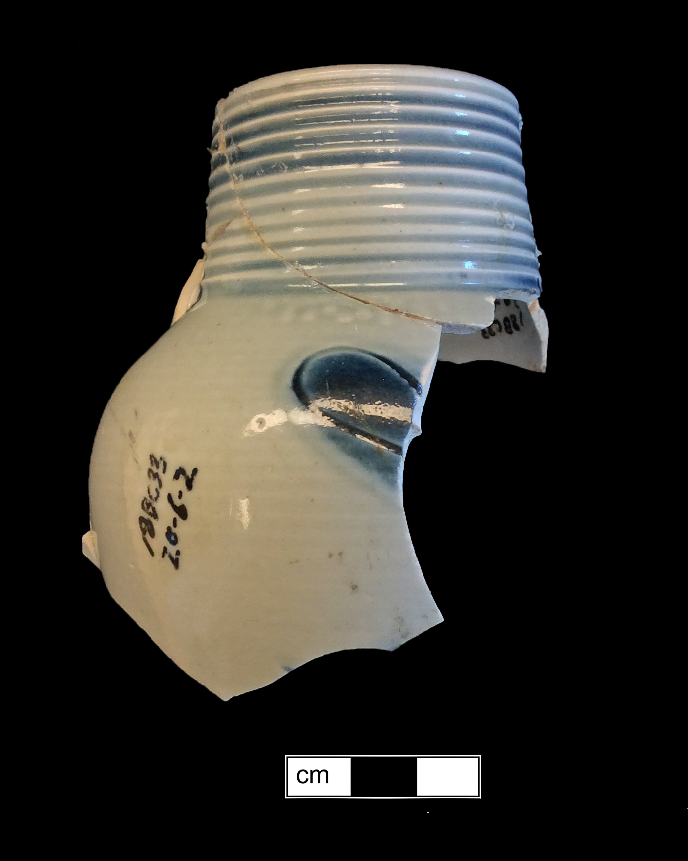
White Salt-Glazed Stoneware
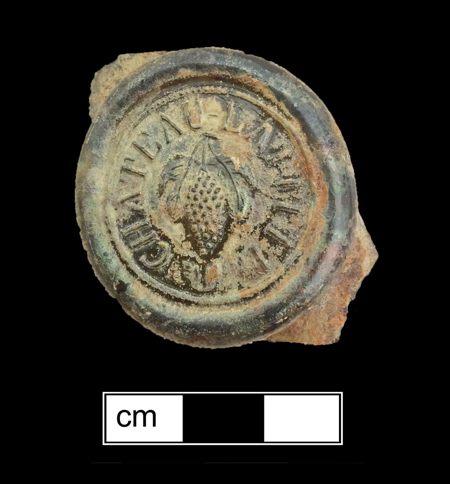
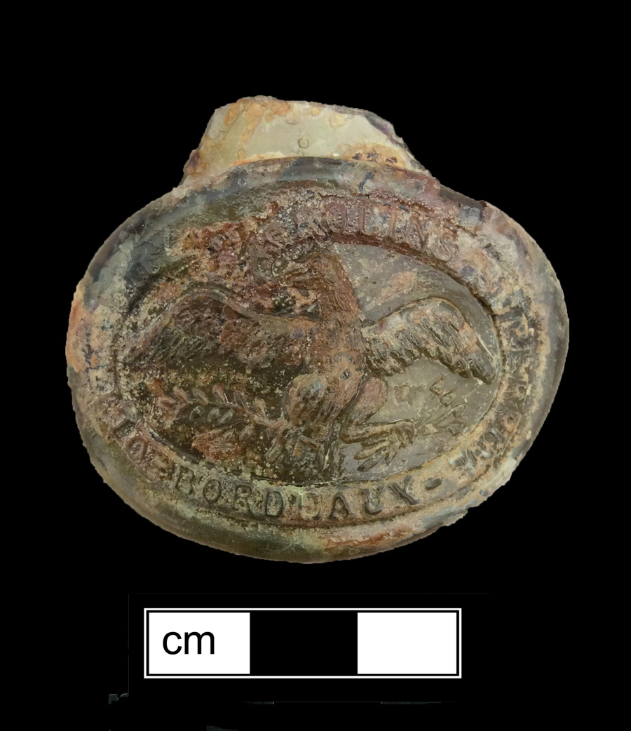
Bottle Seals
Other Forms
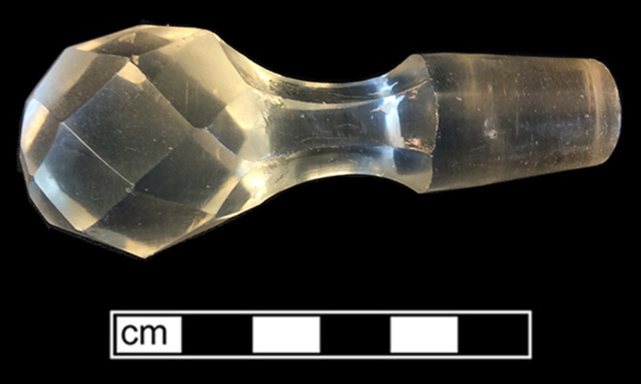
Stemmed Glasses