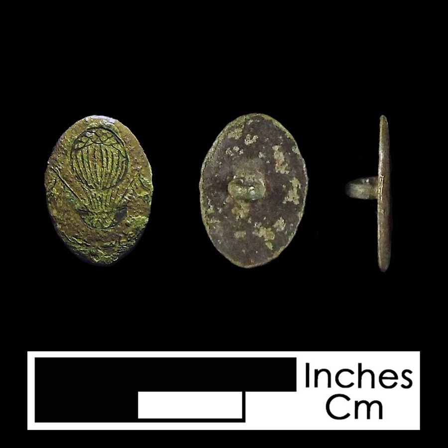
Camp Stanton (18CH305)
Site History
The Camp Stanton site (18CH305) is a mid-19th century Civil War US Colored Troop military encampment and 18th-20th-century artifact scatter in Benedict in Charles County, Maryland. This Union encampment was established in October 1863 for the recruitment and training of Black soldiers for the Union Army. Escaped slaves as well as free Black men enlisted to form the 7th, 9th, 19th, and 30th Colored Infantries of the United States Colored Troops (USCT). The camp was abandoned and destroyed in March of 1864, having enlisted over 8700 African American soldiers.
Archaeological Investigations
This area was previously surveyed by Mary Barse during a larger Phase I survey of the middle portion of the Patuxent River done in 1987. At that time, a light scatter of 19th-century artifacts was found and recorded as 18CH305. The site of Camp Stanton was not specifically identified during that investigation and the site was believed instead to be part of a domestic complex shown on historic 19th-century maps.
In 1989, Terry Lund of Prince Frederick contacted Tyler Bastian was contacted by a private citizen about the presence of miliary related artifacts found at the site. Those artifacts included mid-19th century coins, buttons, thimbles, a scabbard tip, two musket wrenches, and a variety of fired bullets.
In late 2001, The Louis Berger Group conducted Phase I testing of an area proposed for a wetland mitigation area by SHA. A total of 26 shovel tests were placed at 60-foot intervals in an east-west area across the field to the north of the then-recorded location of 18CH305, with additional shovel tests dug at 30-foot intervals around positive tests. Due to the small number of artifacts and the conclusion that they had come from fill deposited at the site in the recent past, no site was defined in this area.
Between 2010 and 2012, the State Highway Administration conducted a large-scale study of the area in order to identify the location of Camp Stanton, a Civil War encampment for US Colored Troops. The site which was determined to be the likely location of the camp encompassed the formerly recorded site 18CH305. As a result of this later work, the boundaries of 18CH305 were expanded beyond the originally mapped 125x100m area to encompass a 680 × 295m area. The entire site is covered with two feet of plowzone, however, some of the site contains fill on top of 18th- and truncated 19th-century strata. The newly defined site also encompasses the area of oyster shell and 19th century ceramics found by Berger in 2001.
A metal detector survey of the property found Civil War-related artifacts across approximately 22 acres of state and private land; archaeological traces of the former camp probably extended west and south beyond the area subjected to metal detection survey. Mechanical stripping and test unit excavation exposed 6 × 8-foot outlines of four former structures situated in a grid. These dwellings were temporary, and when constructed, included a partial wooden frame with white canvas stretched up the sides and across the top to form the roof. The eastern ends of the structures supported a wattle-and-daub-like fire hearth crowned with a barrel.
In addition to the four dwellings, archaeologists also identified a fire hearth and possibly an associated structure on the base of a hillside. Although not fully exposed, the hearth consisted of a circular baked and reddened clay surface. A small domestic assemblage of aqua glass and ironstone was associated with the hearth. In addition, archeologists found food remains from oysters, cow, pig, and unidentified bird species. The mid-19th-century date of the artifacts and the orientation of the fire hearth suggest a Camp Stanton dwelling. Available descriptions of the camp indicate some spatial segregation of officers from the African-American recruits with separate privies at opposite ends of camp designated for the use of each group. Although speculative at this time, it is possible that the location of this structure on higher elevation and closer to the commanding officer's post on top of the hill may indicate an officer's quarter.
References
1988 A Preliminary Archeological Reconnaissance of the Middle Portion of the Patuxent River, Charles, Calvert, Prince Georges, and Anne Arundel Counties. MGS File Report No. 219 (Maryland Geological Survey) MHT # CH 25.
2002 Phase I Archeological Survey and Phase II Site Evaluations for the Proposed Murphy Wetland Mitigation Area, Benedict, Charles County, Maryland. SHA Archeological Report No. 275 (The Louis Berger Group, Inc.) MHT # CH 106 [Page 18: Shovel testing along the access road.]
2016 Archaeological Survey and Corridor Study along MD 231, Benedict, Charles County, Maryland. (State Highway Administration) MHT # CH 202.
2009 Benedict, Maryland, Cultural Resources Survey and Context Study, Phase I. (Charles Co. Dept. Planning and Growth Management) MHT # CH 165.