Lower Marlboro (18CV155)
Site History
The Lower Marlboro archaeological site (18CV155) is the site of an 18th to 19th century town located along the upper reaches of the Patuxent River in Calvert County, Maryland. This site consists of several concentrations of 18th-century material in several large, plowed fields adjacent to the river.
Archaeological Investigations
This site was recorded in 1981 during Kit Wesler's survey of colonial era towns for his UNC dissertation. Wesler decided to surface collect a 15-acre field due to the high visibility of the surface. The site was flagged on a 15m grid. A dark soil stain with a surprising concentration of colonial materials was noticed in the strip of plowed field between the road and the river. This area was gridded to encompass the major concentration of artifacts and also collected.
Four artifact clusters were evident and interpreted as dwelling structures (Structures A-D) dating as early as the mid-18th century. The artifact dating suggests that all of the structures were gone or in ruins by the mid 19th century.
The relative paucity of artifacts in the eastern two clusters (C and D), as opposed to those west of the road, may indicate a disparity in wealth and status between these two properties and those that contained Structures A and B.
Since four concentrations of artifacts, probably buildings, are distinguishable within the greater site, it would make more sense to compute artifact dates for each concentration, rather than for the entire assemblage. Structure A is clearly the earliest, with a mean date of 1732.13 for pipestems and 1756.7 for ceramics. Structure B's median date is the next earliest (1739.89 pipes; 1778.23 ceramics), antedating by two years that of Structure D (1740.55 pipes; 1780.56 ceramics). Structure C's ceramics produce the latest median date (1740.55 pipes; 1790.01 ceramics).
From both the distribution patterns and the ceramic horizons, and the mean ceramic dates based on the same horizons, a hypothetical reconstruction of the change in the occupation of this part of Lower Marlboro may be offered. Structure A probably stood not far from the Patuxent bluff in the 1750s, perhaps housing neighbors to the occupants of the Grahame, Mills, and Hinman houses. Structure A burned, perhaps in the early 1760s. Structure B either replaced it shortly thereafter, or had been built not long before. Whether there was one household that split and then merged again, as two generations of a family, or one household that reestablished itself on the same or next lot, or two households with either overlapping tenancies or even no relationship at all, cannot be ascertained.
Structure D may have been erected and inhabited in the third quarter of the 18th century, followed by Structure C perhaps in the 1770s. These buildings may have been occupied by families of lesser means, or perhaps households containing considerably fewer persons. Structures B, C, and D persisted into the 19th century, but not very long past c. 1820, as indicated by the small amounts of whiteware associated with each cluster.
In September of 2015, Calvert County Planning and JPPM staff visited the site at the invitation of property owners who had recovered artifacts eroding onto the Patuxent beach. On the 1892 Prince Frederick 15' topographic map there is a road between the River and a house near the site that could be the source of the artifacts. There is also a possible road trace upslope from the beach, possibly a remnant of the early road. The area was too overgrown at the time of the site visit to assess the slope and what features or other artifacts may be on or near the surface.
References
1982 Towards a Synthetic Approach to the Chesapeake Tidewater: Historic Site Patterning in Temporal Perspective. (University of North Carolina at Chapel Hill) MHT # MD 141 (pp. 193-217).
1984 A Controlled Surface Collection at Lower Marlboro, 18Cv155. Maryland Archeology, Vol. 20, No. 1, March 1984.
Associated Artifacts
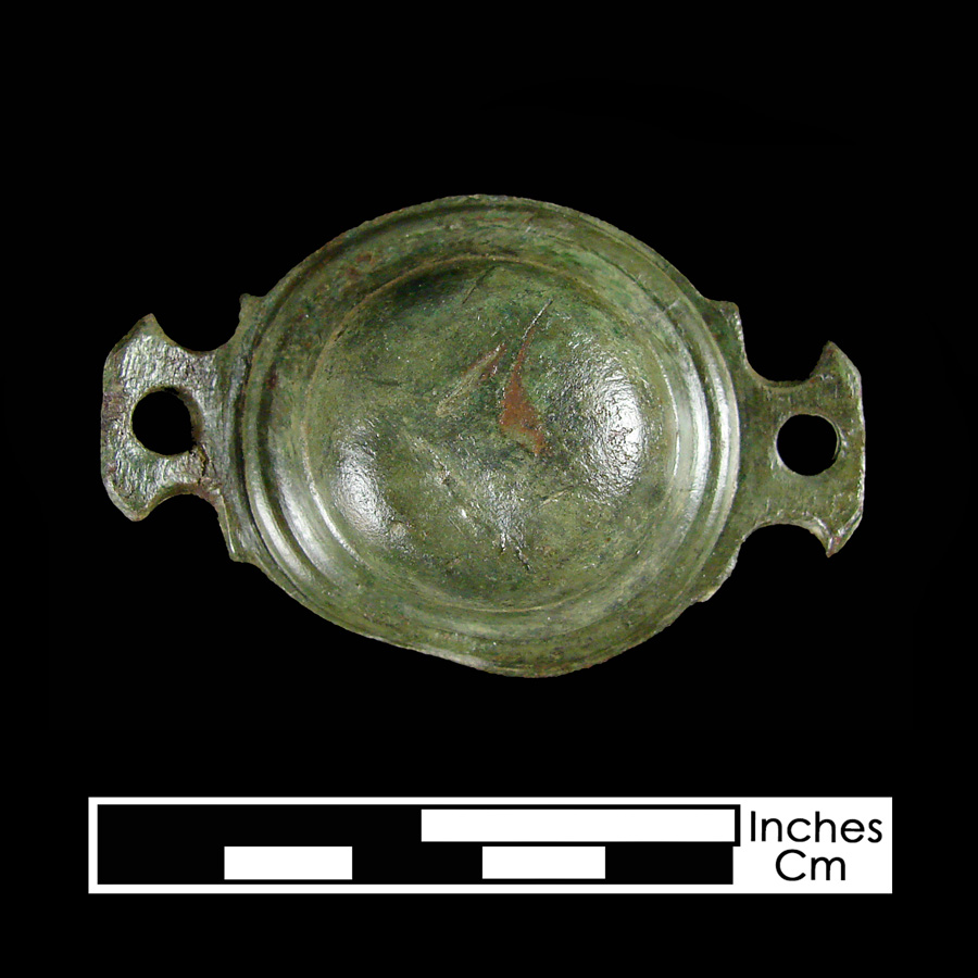
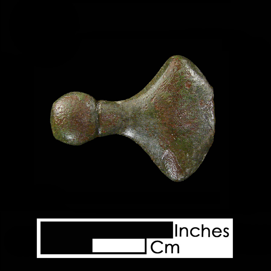
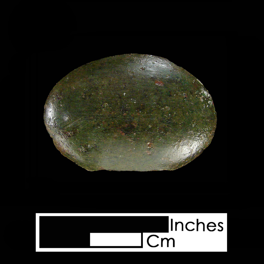
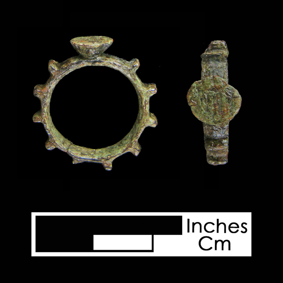
Curb Bit Bosses
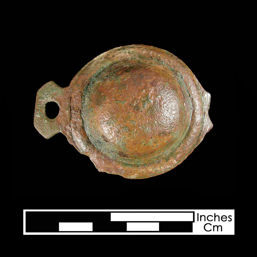
Curb Bit Bosses