Winslow (18MO9)
Site History
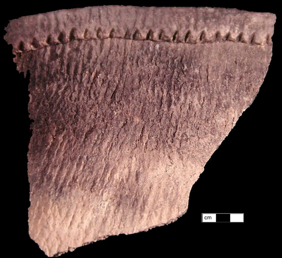
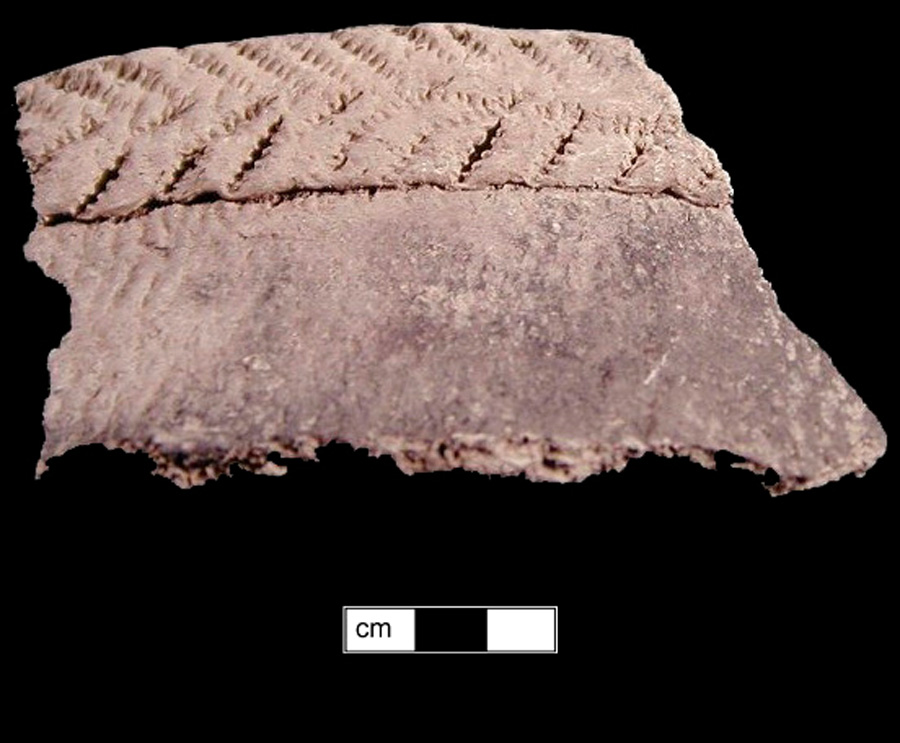
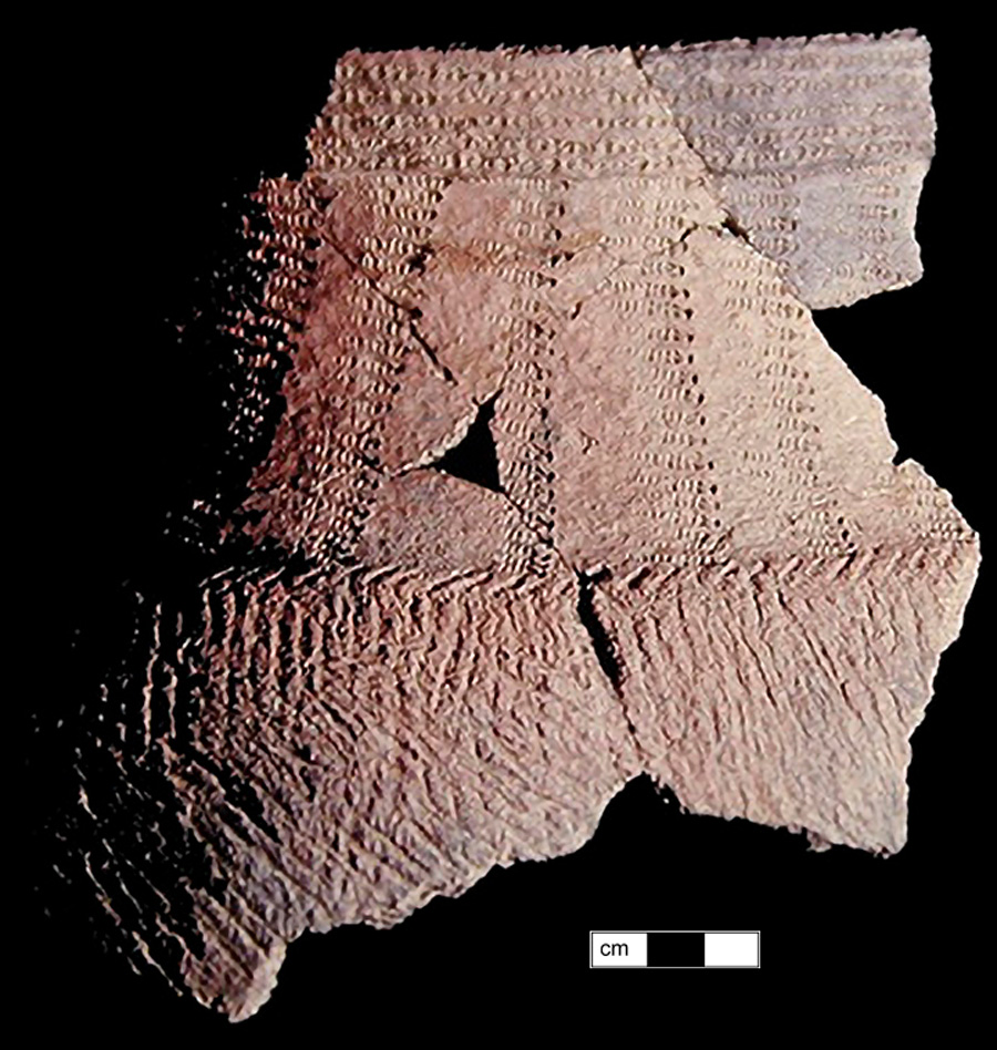
Occupations at the Winslow site date primarily to the Late Woodland period but there is also evidence of a smaller Early Woodland component. Diagnostic lithic material dating to the Early through Late Archaic periods have also been recovered from the site. An historic period late 18th and early 19th century farm occupation was also present at the site though a formal analysis and description was never fully reported. The vast majority of the ceramics recovered from the site were Late Woodland Shepard wares, with minority Late Woodland wares of Mason Island, Keyser, and Potomac Creek. Early Woodland materials consisted of Marcey Creek and Selden Island sherds.
Archaeological Investigations
The Winslow site was first identified in 1934 by Richard Slattery and Hugh Stabler, who undertook excavations at the site in 1940/41. During these excavations, three human burials were identified in addition to ten refuse pits, which were arranged in a circular pattern.
Following excavations by Slattery and Stabler, the site was disturbed by a local collector who had begun indiscriminately excavating the site. To prevent further destruction of the site by collectors, the southwest chapter of the Archeological Society of Maryland (ASM) conducted systematic excavation across the site from 1959 to 1961. A total of 194 5-foot test units were excavated in addition to limited shovel testing. The ASM excavations sought to relocate features identified by Slattery and Stabler, which included the documentation of several pit-like features. A total of 34 features were identified, including 15 burials and 4 dog burials.
Additional testing was conducted in 2002 and 2003 by ASM and American University as part of the annual Tyler Bastian Field Session using the same grid established in 1959 but using metric test units measuring either 2 × 2, 1 × 2, or 1 × 1 meter unit sizes. These excavations covered a combined 182 square meters of space.
Features included pit or basin features, post molds and house patterns, a human burial, and a dog burial. Radiocarbon dates from non-burial contexts point to a site occupation of between 1300 and 1420 AD. Associated structural post mold patterns were designated as single structures. Structure 2 consisted of 28 post molds in an oval shape measuring 5.2 meters on its long axis and 4.35 meters on its shortest axis. Within Structure 2 were two basin-like features (Features 45 and 46), along with two pit or basin features to the southeast (Feature 44) and northwest (Feature 47).
The dimensions of Structure 1 are unknown. During attempts to delineate that extent of structure, a single human burial was encountered (Feature 43). The remains of a single female were documented in situ and reburied. Northeast of the burial was a dog burial within a shallow pit (Feature 40).
Associated Artifacts
Shepard
Shepard