Accokeek Creek (18PR8)
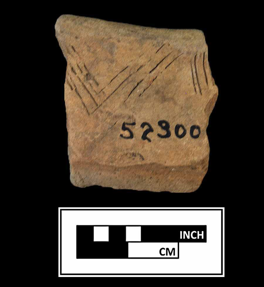
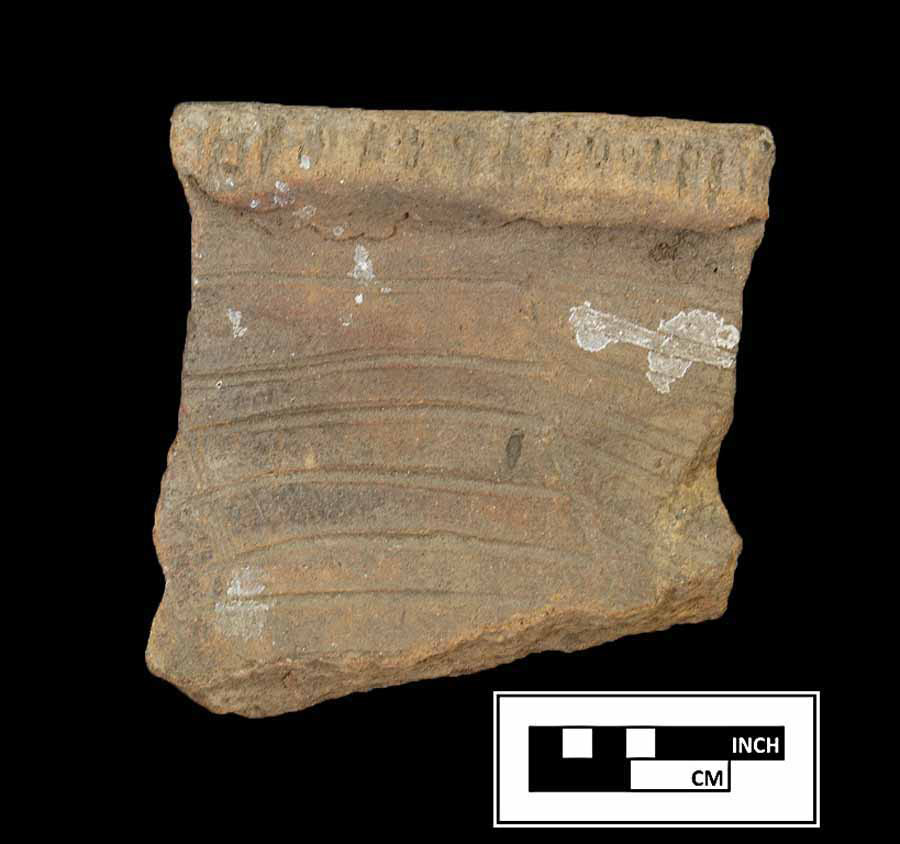
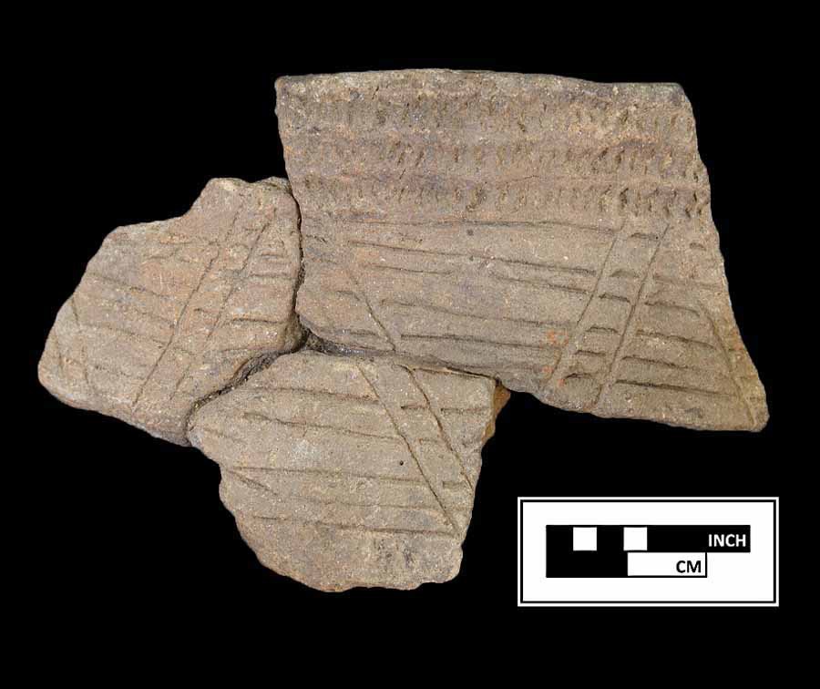
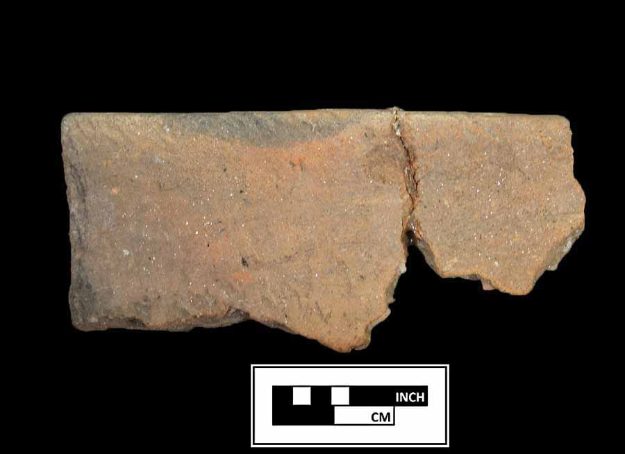
The Accokeek Creek site (18PR8) was a major Indian town located on the Potomac River about midway between Piscataway and Accokeek creeks in Prince George's County, Maryland. The site was excavated between 1935 and 1939 by Alice L.L. Ferguson, an avocational archaeologist who discovered the site soon after she purchased the property in 1923. Mrs. Ferguson's investigations were extensive and revealed a large complex of consecutive palisades, post molds, hearths, refuse pits, dog burials, and ossuaries across an area measuring roughly 650 by 350 feet. Mrs. Ferguson identified the site as Moyaone, a settlement visited and mapped by Captain John Smith in 1608, although some archaeologists now question that interpretation. Thousands of artifacts, including lithics, ceramics, and other objects were recovered during the excavations and indicate that the town at Accokeek Creek, whether it was Moyaone or not, was a major center on the Potomac River.
Archaeological Investigations
Alice Ferguson began her excavations in 1935 and managed to expose large sections of ground between then and 1939. She used school boys and farm workers to hand-strip the overlying plow zone level; no deposits were screened. A grid laid out in 50-foot sections was put in place and these sections were subdivided into 5-foot squares as excavation proceeded. When a feature was encountered, "every pit was cross sectioned and diagrammed and all but a few of the very small pits were photographed." Some effort was made at the time to retain provenience information, for the plow zone (or what Mrs. Ferguson described as the topsoil) as well as for the features. "All artifacts found in the pits," Mrs. Ferguson later wrote, "were kept and recorded separately but those found in the topsoil in stripping back the refuse mantle were merely given the number of the section in which they were found."
Features included a large number of post molds distinguished by their darker color, straight sides, and finished (tapered or blunt) ends, located anywhere from 4 to 24 inches below the plow zone. Many dozens of post molds measured approximately 2 inches in diameter. Post molds for the "stockades" or palisades were larger and more robust.
The post molds forming the palisade lines were reported to be evenly spaced at intervals of about one foot with molds ranging in diameter from 2 to 8 inches with most 4 inches or larger. Mrs. Ferguson identified 14 iterations of palisade lines, some of which were contemporary while others were of different generations.
Other features included refuse pits, many of which follow what Mrs. Ferguson called the "I stockade," one of the outermost palisades. Most of the refuse pits ranged between 2 and 2.5 feet in depth below plow zone. A few, including Pits 42, 53, and 55, extended 4 feet into subsoil.
References
1963 The Accokeek Creek Site: A Middle Atlantic Seaboard Culture Sequence. Anthropological Papers, Museum of Anthropology, University of Michigan, No. 20, Ann Arbor.
Associated Artifacts
Moyaone
Moyaone
Moyaone
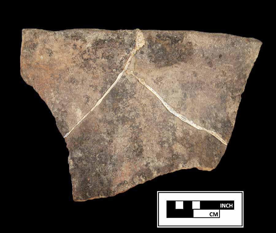
Moyaone
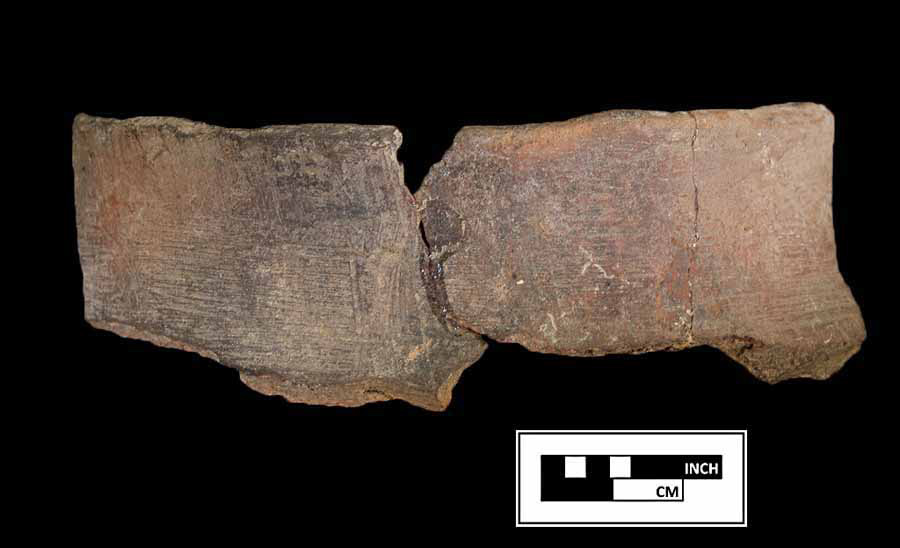
Moyaone
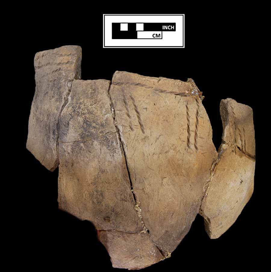
Moyaone
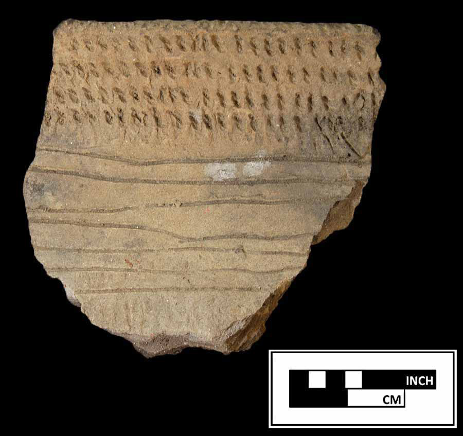
Moyaone
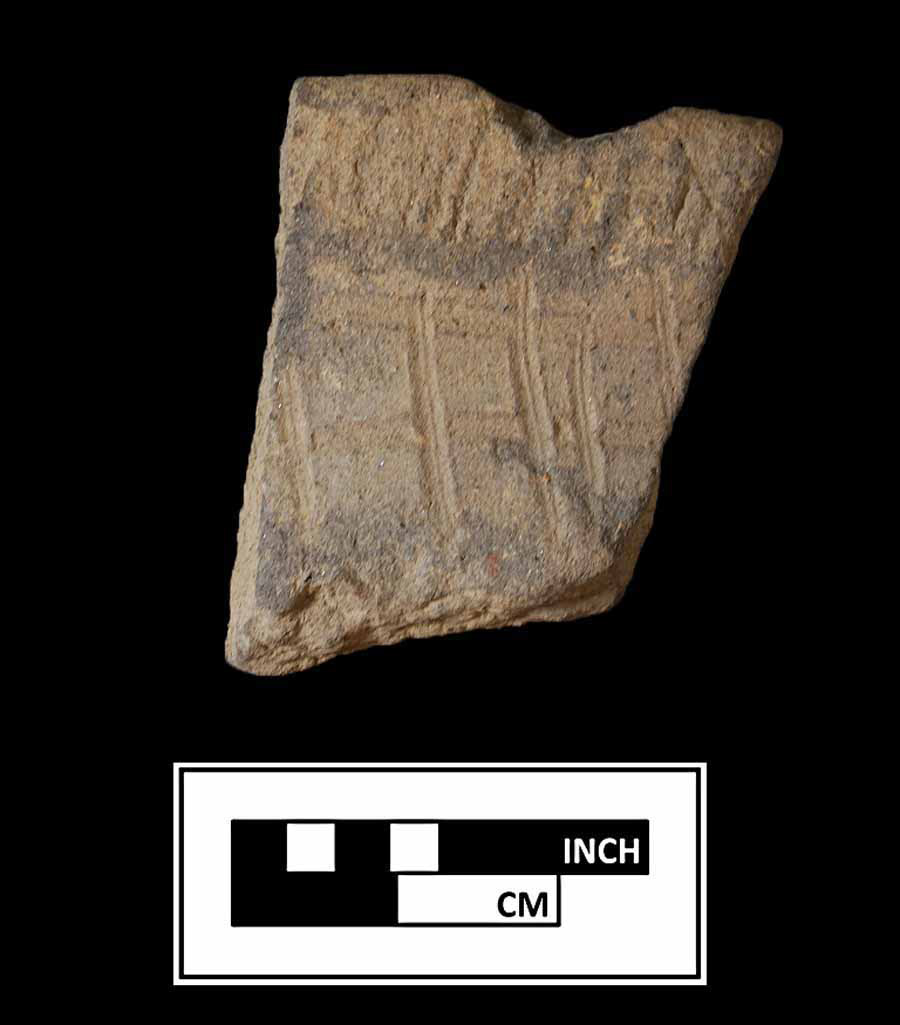
Moyaone