Ballast Stone (18ST647)
Site History
The Ballast Stone site (18ST647) is an underwater concentration of stone and oyster shell of uncertain origin with 17th-century artifacts. The site is located in the St. Mary's River in St. Mary’s City in St. Mary's County, Maryland.
Archaeological Investigations
The site was first identified during a survey by the Maryland Historical Trust in 1994 and has been the subject of subsequent attention in the following years. It has previously been described as a heavy concentration of riverine stones, distributed in an elongated ovular pattern over forty-two feet long and twelve feet wide. It was buried under at least 6-inches of mixed sediments at the times of the inspections conducted by Thompson (1995), Embrey (1998, 2001), and Tucker (2013). Side scan sonar data collected by Thompson and Tucker revealed a mound shaped feature at this location with little relief.
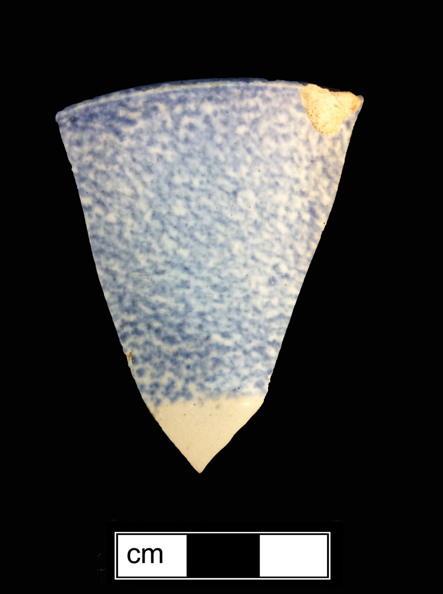
The stones were presumed to have been brought to the region as ballast material, and preliminary testing and mapping suggested the site was possibly the remains of a colonial period vessel, although this could not be conclusively stated. Work performed on this site between 2011 and 2012 strengthened the colonial ship hypothesis based on the dimensions and density of the ballast and provided a date to the mid- to late 17th-century for deposition of 18ST647 based on diagnostic artifact finds. An assortment of archaeological objects collected during various visits to the site included clay tobacco pipe fragments, brick, stoneware, and glass.
Analysis of the ballast material revealed that the stones are of English origin, likely originating from the Northam Burrows Pebble Ridge on the northern coast of the county of Devon. Evidence points to 18ST647 being a small, yet ocean-going vessel directly involved in the English tobacco trade, operating from one of England's west coast outports, which was abandoned along the shoreline of St. Mary's City shortly after crossing the Atlantic.
Ultimately, it is unclear whether this site represents a ballast pile, the remains of a historic ship, or merely a concentration of debris or natural materials intermixed with archeological objects eroded from the now submerged historic shoreline.
References
1998 A search to identify the seventeenth-century shoreline of St. Mary’s City, Maryland. MHT # ST 181.
2001 A Phase One Archaeological Survey of the Beach and Nearshore Areas at St. Mary's City, St. Mary's County, Maryland. (HSMC) MHT # ST 187.
1995 A Phase I Survey for Submerged Archaeological Resources on the St. Mary's River, St. Mary's County, MD. MMAP file report 002. MHT# ST 139.
2001 A Phase I Survey for Submerged Archaeological Resources Within Maryland's Northwestern Shore, Patuxent and Potomac Drainage Basins: Meredith, Whitehall, Ridout, Mill, and Church Creeks and West, Rhodes, Patuxent, Potomac, and St. Mary's Rivers, Anne Arundel, Calvert, and St. Mary's Counties, Maryland. (Maryland Historical Trust/Maryland Maritime Archaeology Program) File Report 006 MHT # AN 504.
2012 St. Mary's River Archaeological Project, St. Mary's County, Maryland: A Phase II Survey, June 2012. (University of Southampton Centre for Maritime Archaeology) MHT # ST 261.
2014 Archaeological Testing of a Distribution of Lithic Ballast Material in the St. Mary's River: A Phase II Examination of Site 18ST647. (University of Southampton Centre for Maritime Archaeology) MHT # ST 297.