Burwell's Landing Ordinary (44JC40)
Site History
The Burwell's Landing Ordinary site (44JC40) is the circa 1750-1775 site of an ordinary/tavern and warehouse on a bluff overlooking the James River in James City County, Virginia. Under the ownership of Lewis Burwell, this property was leased for use as a tavern, ferry, and warehouse. The main dwelling on the site served not only as a residence for the tavern keeper and the ferry captain but also served as the tavern and as warehouse space. The building was destroyed by fire during its occupation by Revolutionary War troops, as stated in Burwell's claim against the government in 1776 (Kelso 1984:99).
Archaeological Investigations
In 1973, the Virginia Historic Landmarks Commission located and began excavation of the Burwell's Landing Ordinary site at Kingsmill in advance of a residential development. Archaeology revealed brick foundations that once supported a frame building that had started out as three separate buildings eventually combined into one.
The westernmost structure measured 22 by 41 feet and contained a brick-lined cellar. The cellar had been divided into two rooms, contained two periods of bulkhead entrances, a fallen chimney stack, and burned timbers. The relative absence of household artifacts in the burned filled led to the conclusion that the structure had been abandoned before it burned. This structure was interpreted as the tavern kitchen. This structure was later joined to the central building with an earthfast hyphen to connect the two.
The second structure, located 28 feet to the east, was a 40- by 18-foot structure on brick piers, with two end chimneys.
The third structure, located farthest to the east, was a slightly offset 16 by 20 ft. structure with a brick chimney on its eastern end. This structure was later attached to the second structure by an L-shaped earthfast addition along its eastern and southern sides. Once all three of the separate structures were combined, the building measured 130 feet in length, containing over 4,200 square feet of living and storage space (Kelso 1984:102).
The 1973 excavations also located a well and ditches associated with a garden. The well had been partially dismantled and backfilled; one of the artifacts found in the well was the bucket used to draw out water.
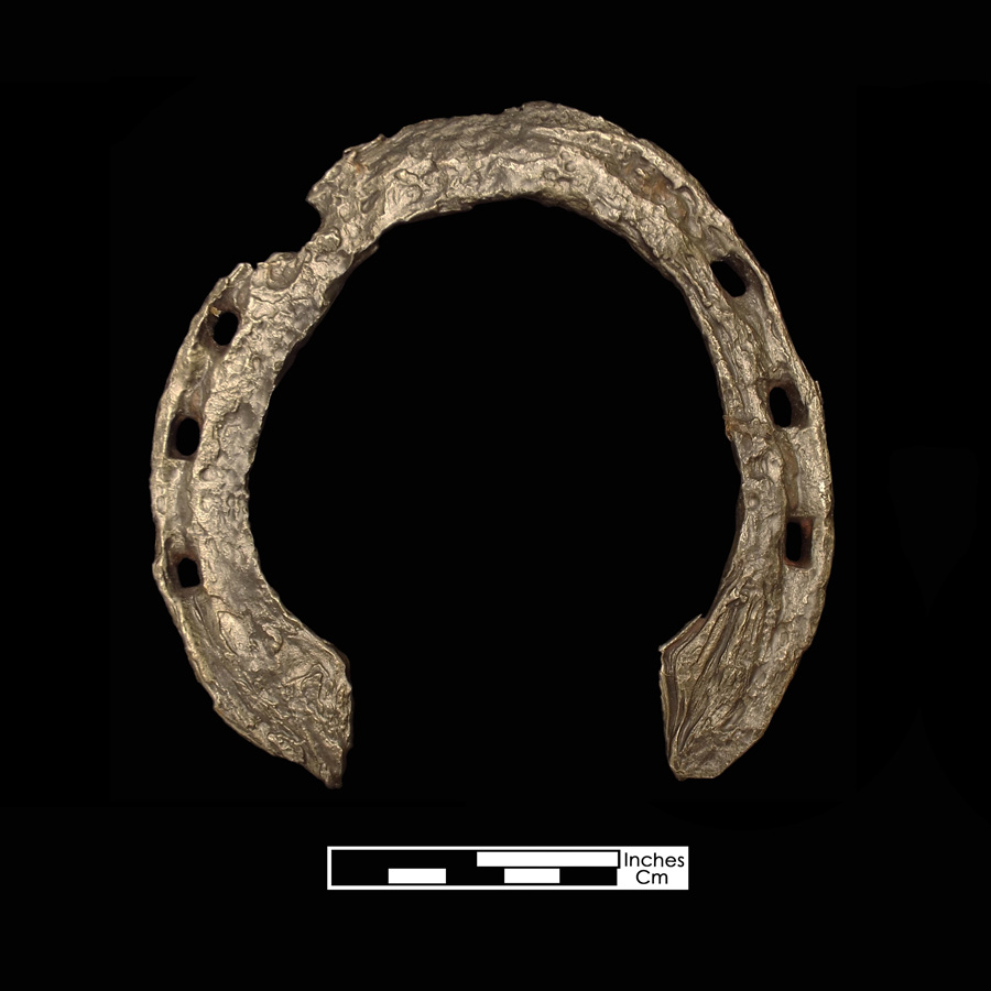
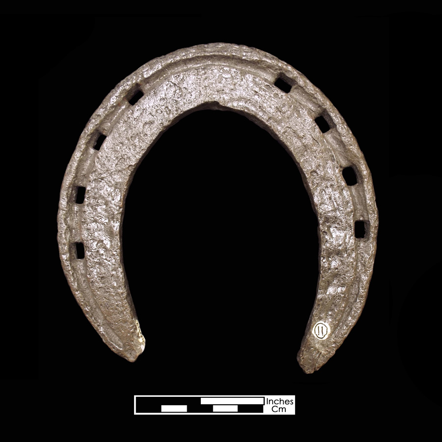
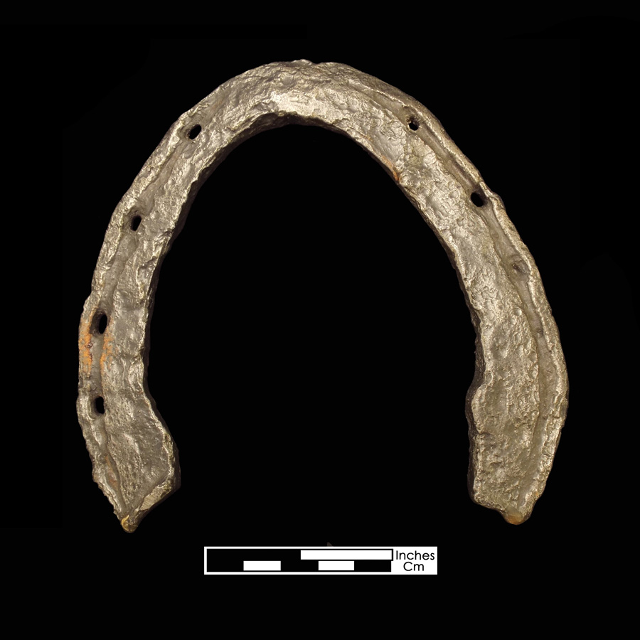
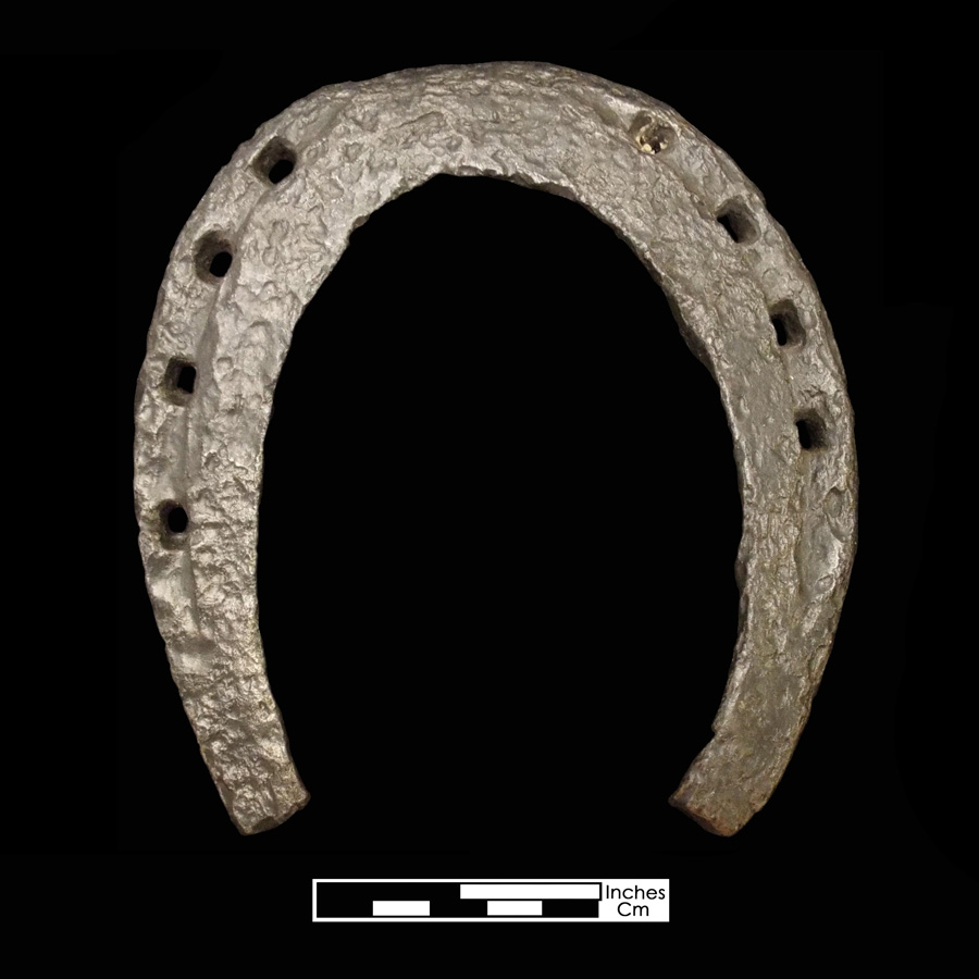
Additional work on the site was conducted by Archaeological and Cultural Solutions, Inc. in late 2015 and early 2016. Eight 2.5 × 2.5 foot units distributed throughout the site recorded undisturbed soils only at the base of mature trees present in 1973. On all other portions of the site, construction work associated with the nearby golf course had disturbed the soils. Overlying soils were removed mechanically to reveal a number of buried utility lines. The 2015 excavations yielded additional architectural details along the ordinary's north wall line, a linear arrangement of connected buildings comprised of, from west to east, a brick-lined basement structure, a hyphen on a brick foundation, a building on brick piers, and a kitchen on a brick footing, later expanded with earthfast construction. These investigations also recovered artifacts that substantiated the formerly assigned c.1750 – c.1775 dates of occupation.
References
1984 Kingsmill Plantations, 1619-1800; Archaeology of Country Life in Colonial Virginia. Academic Press, New York.
2017 Phase III (Data Recovery) Archaeological Investigations, Burwell's Bluff Project at Kingsmill, James City County, Virginia.